Sentiero della Sila
Calabria, Italy
Italy · Umbriatico, Italy → Crucoli, Italy
Distance
128 km
Stages
5
Difficulty
moderate
Best months
Apr-Jun, Sep-Oct
About
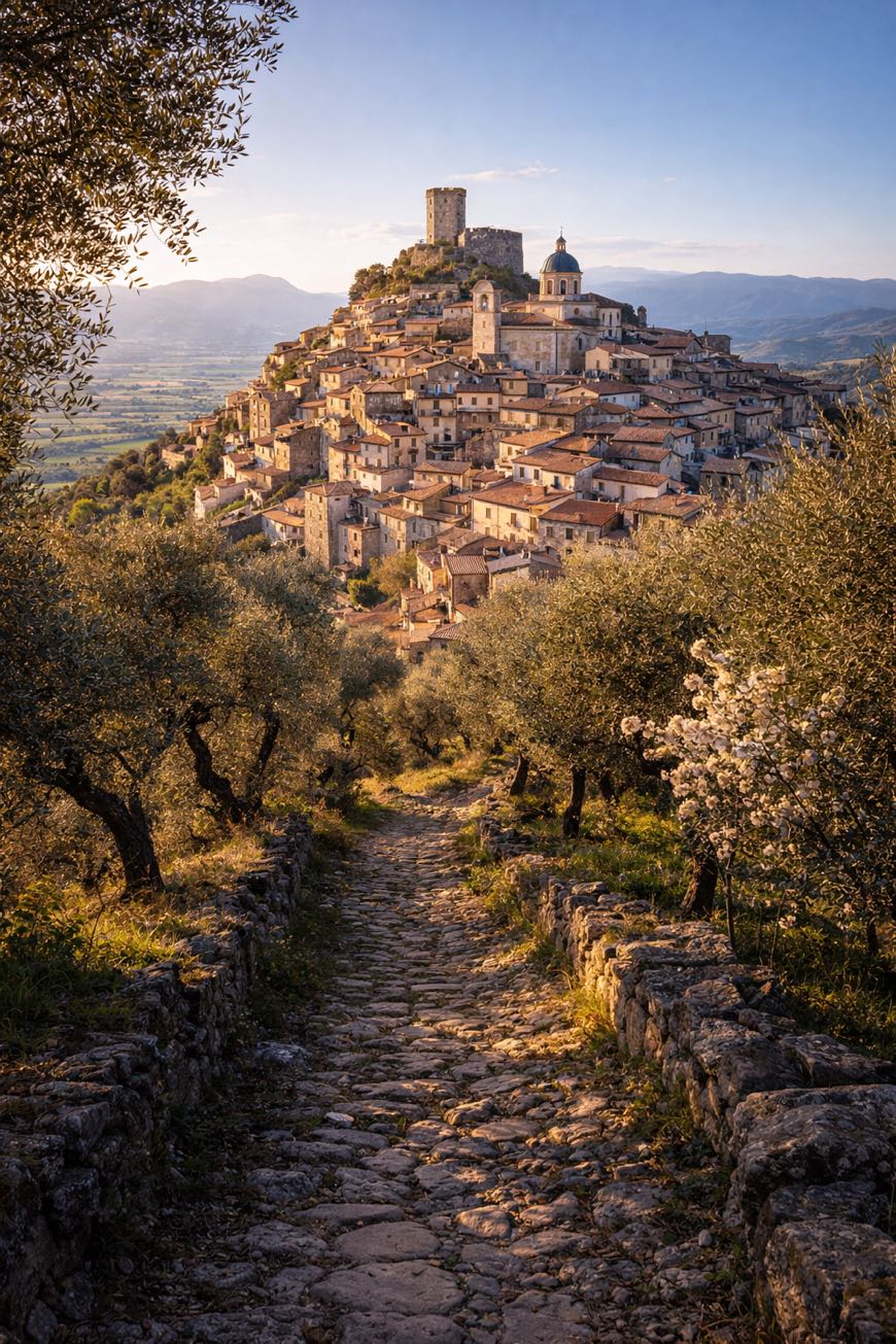
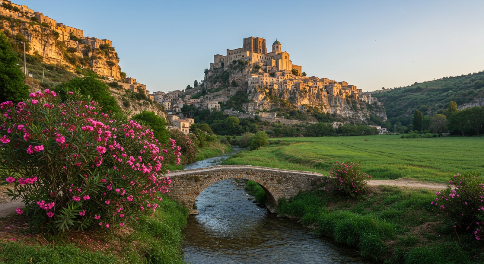
A 130 km journey through Italy’s Sila plateau, five stages of rugged beauty, ancient towns, and whispers of history. Starting in Umbriatico, with its medieval charm, the trail winds to Crucoli, threading through San Giovanni in Fiore, where the scent of wild herbs fills the air.
Elevation gain? 2,977 meters of challenge, with hilltop villages like Caccuri and Santa Severina as rewards.
Spring and autumn reveal vibrant landscapes, beckoning those seeking both adventure and reflection. This is a route where every step connects you to the land’s enduring spirit.
Stages
5 stages
 Stage 1
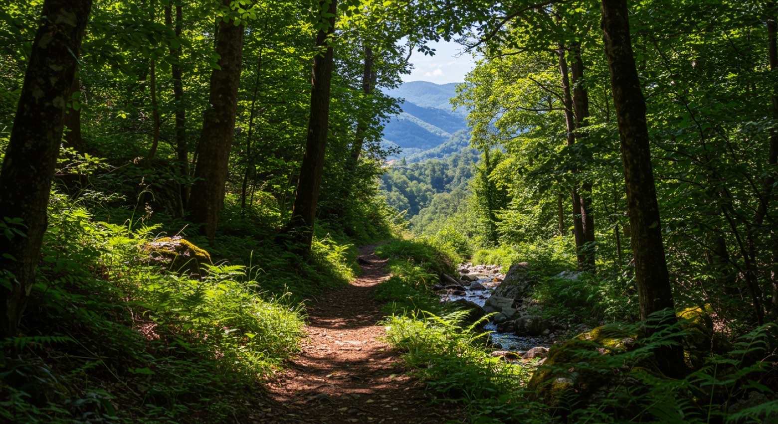
Umbriatico → Zinga
moderateDistance24 kmAscent509 mDescent870 m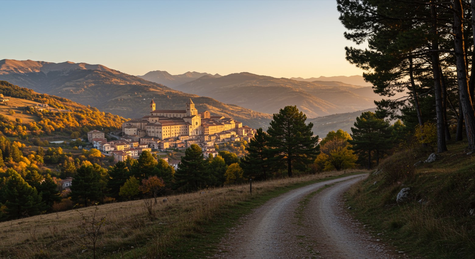 Stage 2
Casabona → San Giovanni in Fiore
challengingDistance28 kmAscent1281 mDescent465 m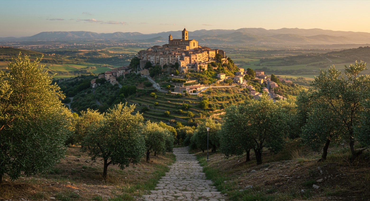 Stage 3Distance14 kmAscent217 mDescent561 m
 Stage 4
Caccuri → Santa Severina
moderateDistance31 kmAscent562 mDescent892 m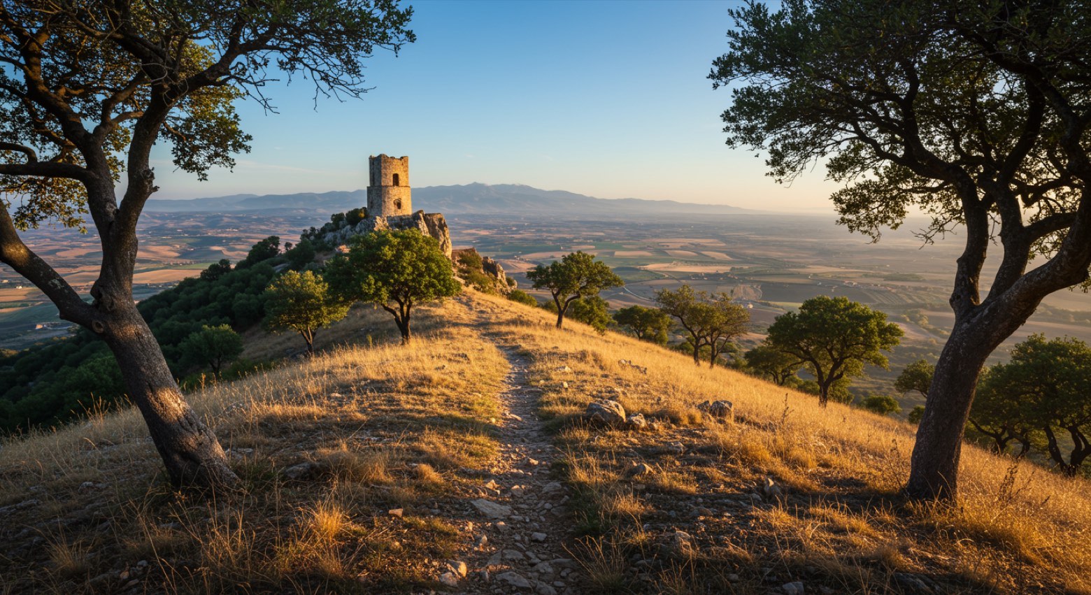 Stage 5
Umbriatico → Crucoli
moderateDistance32 kmAscent408 mDescent748 m
Travel
Find connections for your cammino.
Search trainsMore walks in Italy
Plan your walking trip
How to choose a walking route: stages, days and ascent
Choose a walking route by comparing daily stages, available days, ascent and transport links. Practical planning with examples from the Appy catalogue.
How to plan a walking trip by train and bus
Plan travel to and from your walk: stage endpoints, stations, stops and the connection to the trail. A practical guide to routes and transport with Appy.
Take your walk with you: download Appy
Sentiero della Sila. Explore maps, stages and elevation in the app, and plan your train or bus journey.