Camino a Fisterra-Muxía
Galicia, Spain, Spain
Spain · Santiago de Compostela, Spain → Fisterra, Spain
Distance
89 km
Stages
4
Difficulty
moderate
Best months
Apr-Jun, Sep-Oct
Camino a Fisterra-Muxía · Stages and distances
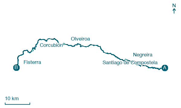
Walking distances for Appy’s stages (4)
| Stage | km |
|---|---|
| 1. Santiago de Compostela → Negreira | 20.7 |
| 2. Negreira → Olveiroa | 33.6 |
| 3. Olveiroa → Corcubión | 20.6 |
| 4. Corcubión → Fisterra | 14.1 |
| Total | 89 |
About
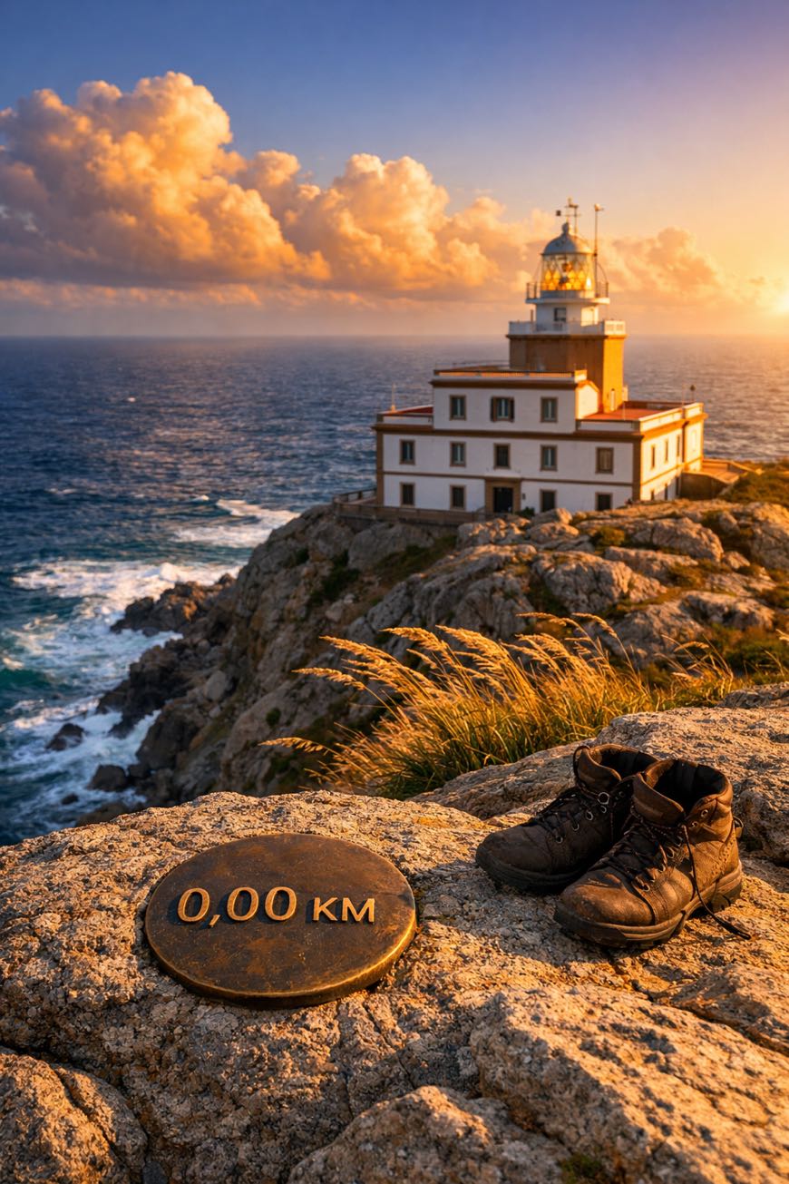
Ninety kilometers to the edge of the world. The Camino a Fisterra-Muxía winds through ancient villages, lush hills, and the salt-kissed air of the Atlantic.
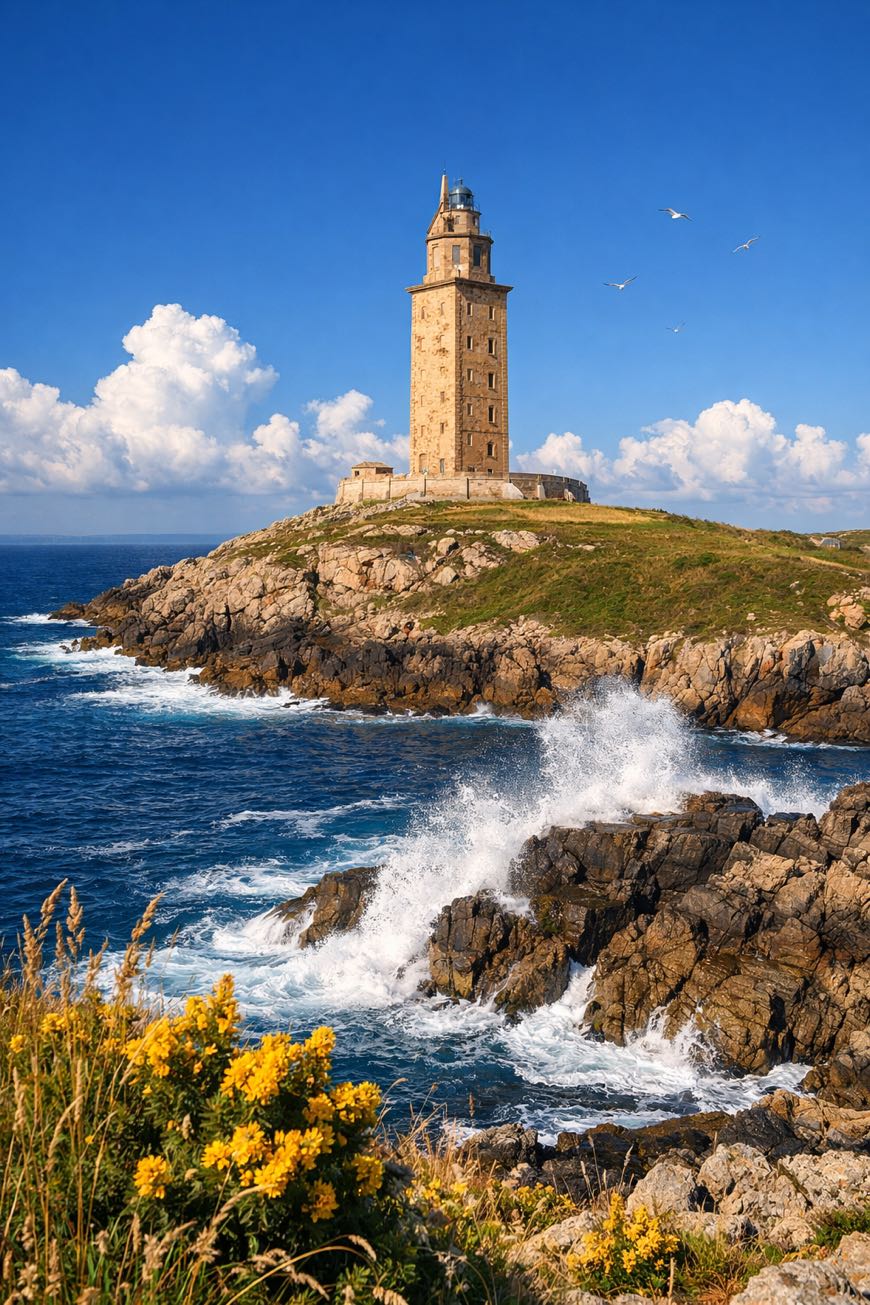
Four stages and 2,359 meters of elevation gain lead you past sacred sites like Muxía’s sanctuary, where history whispers from the stones. As you near Fisterra’s lighthouse, standing sentinel since Roman times, you’ll hear the relentless crash of waves against rugged cliffs.
This is more than a trek; it’s a communion with the earth, a challenge that stirs the soul and sharpens the mind.
Stages
4 stages
 Stage 1
- Distance
- 21 km
- Ascent
- 429 m
- Descent
- 505 m
 Stage 2
Negreira → Olveiroa
moderate- Distance
- 34 km
- Ascent
- 448 m
- Descent
- 348 m
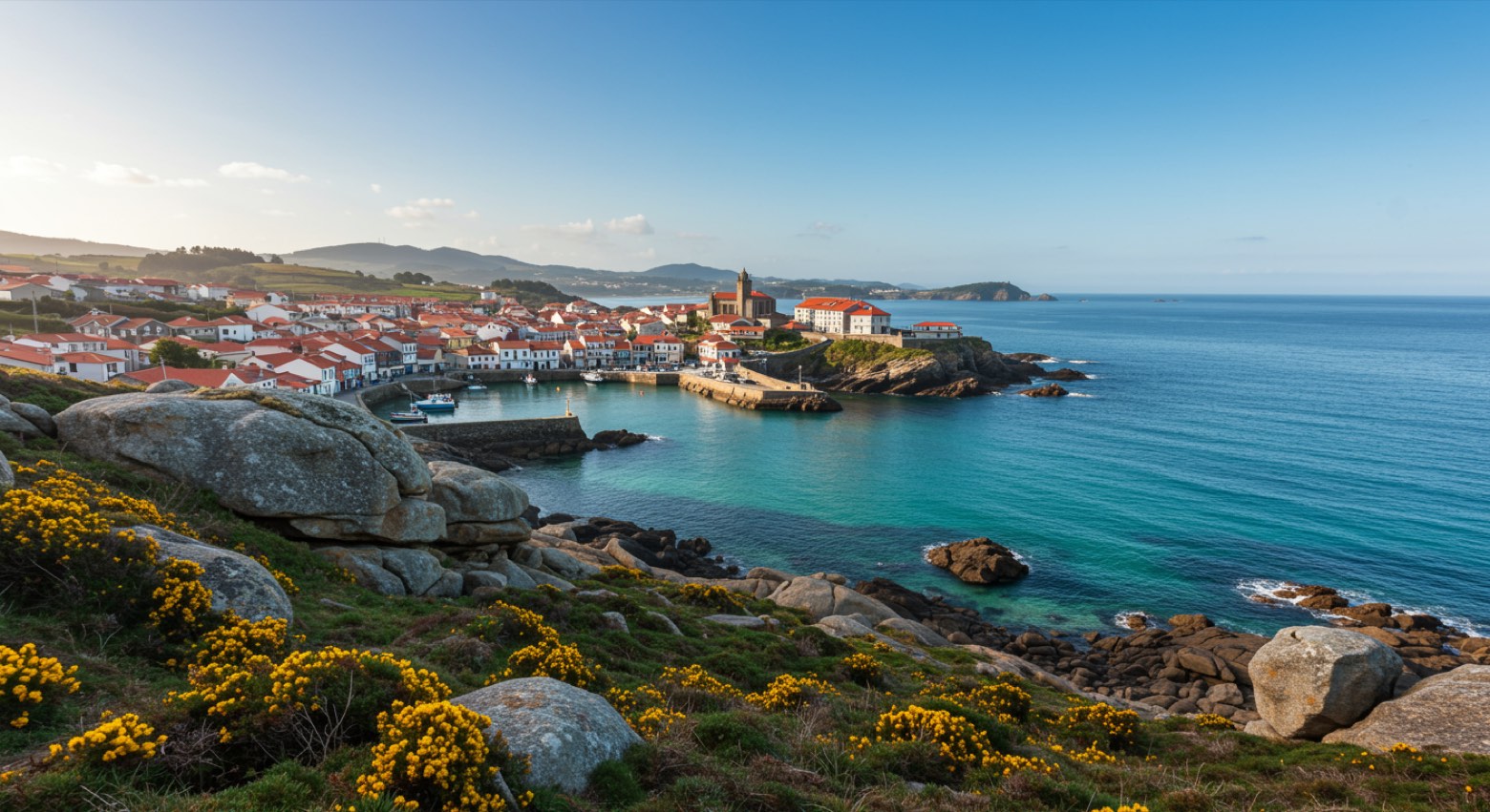 Stage 3
Olveiroa → Corcubión
moderate- Distance
- 21 km
- Ascent
- 229 m
- Descent
- 489 m
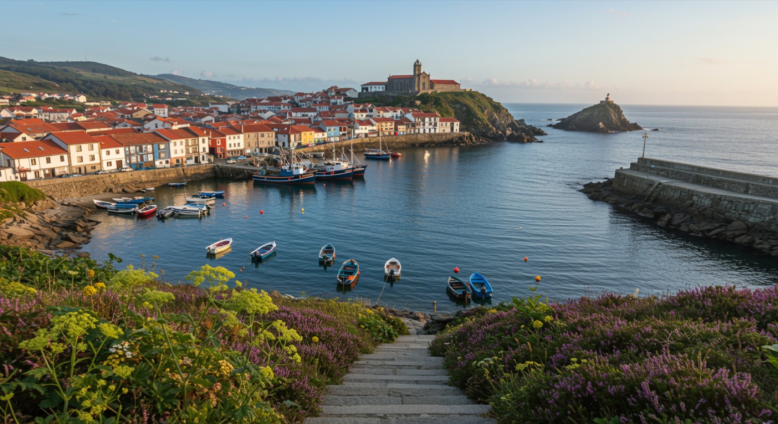 Stage 4
Corcubión → Fisterra
moderate- Distance
- 14 km
- Ascent
- 365 m
- Descent
- 275 m
Points of interest
- San Martiño Pinario monastery
The second largest monastery in Spain after El Escorial, built around 899 by Benedictine monks and by the sixteenth century the most powerful in Galicia.
- Castillo del Príncipe
Castle, in Cee, Spain, designated as bien de interés cultural.
- Monastery of Saint Pelagius of Antealtares
A Benedictine monastery born to watch over the newly found tomb of the Apostle James, with twelve monks at first.
- Monastery of San Francisco do Val de Deus
A Franciscan convent founded in the early thirteenth century on land the Benedictines of San Martiño Pinario gave in exchange for a basket of fish a year, still delivered in the late 1700s.
- Palacio de Rajoy
18th-century neoclassical architecture palace. Designed by Carlos Lemaur.
- Monument to Saint Francis
20th-century monument, designed by Francisco Asorey, in Santiago de Compostela, Spain, at 256 m elevation, 12 m tall, built in marble.
- Museum of the Cathedral of Santiago de Compostela
20th-century museum, in Santiago de Compostela, Spain.
- Museo das Peregrinacións e de Santiago
Museum of Pilgrimages and Santiago. 20th-century museum, in Santiago de Compostela, Spain, designated as cultural heritage.
Travel
Find connections for your cammino.
Search trainsMore walks in Spain
Plan your walking trip
All articles and guidesHow to choose a walking route: stages, days and ascent
How many days can you actually spend walking? Start there, then choose stages that leave you time to stop along the way.
How to plan a walking trip by train and bus
Two different stations, a last bus and a backpack. Fit the journeys out and home around the days you want to spend walking.
Take your walk with you: download Appy
Camino a Fisterra-Muxía. Explore maps, stages and elevation in the app, and plan your train or bus journey.

