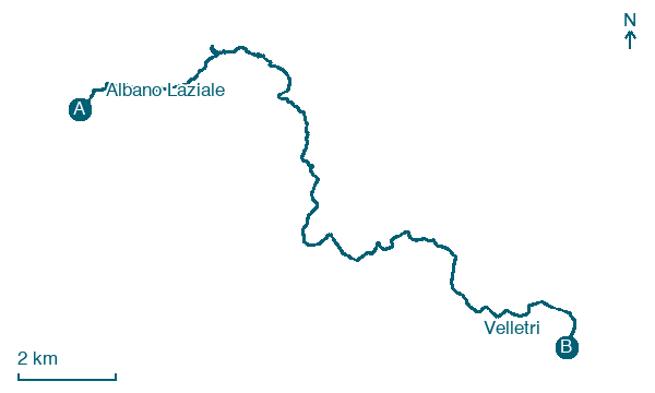
Albano Laziale → Velletri
Walking distance 18.9 km
Download Appy for the stage map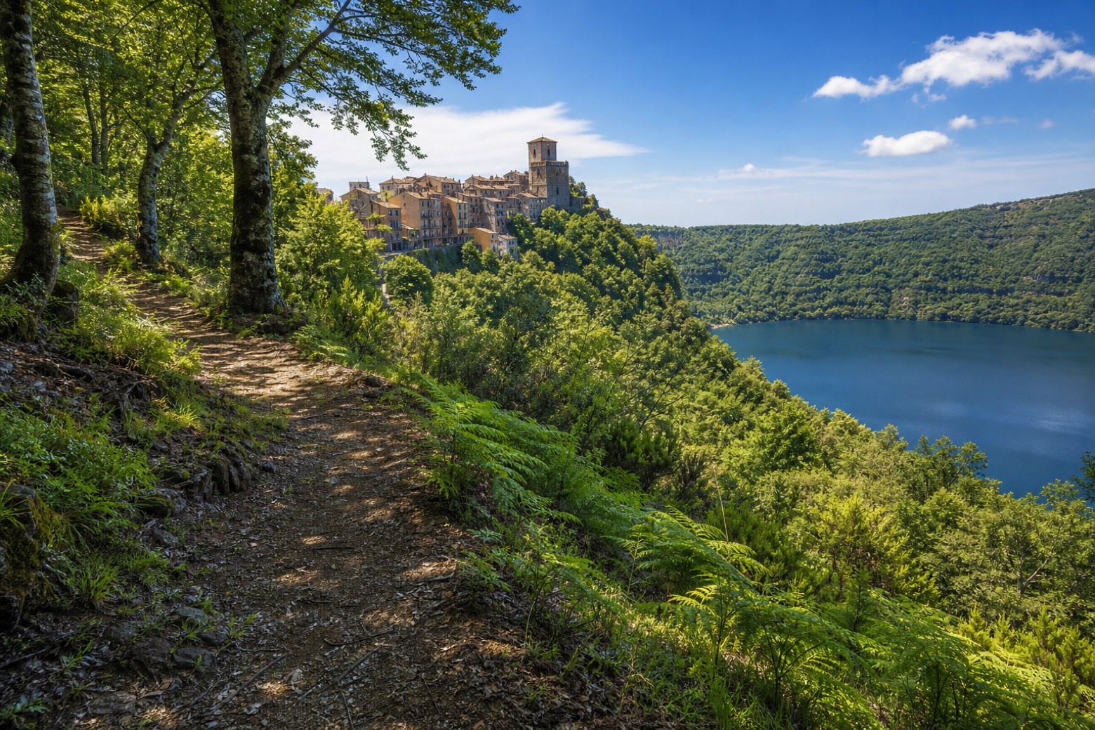
Stage information
- Ascent
- 481 m
- Descent
- 516 m
Difficulty: moderate
Walking the stage
Out of Albano Laziale under the arch of the Collegio del Preziosissimo Sangue and into the woods of the Parco Regionale dei Castelli Romani on trail 511. Past the Terrazza degli innamorati viewpoint to Nemi, the village of wild strawberries, then along country lanes and a short stretch of the Via Appia to Velletri. About 19 km.
Before leaving Albano Laziale, locate Pamphilj Palace (Albano) on the map. It is close to the starting point.
Look for these places on the stage map: Monte Gentile and Nemi.
What to see on this stage
History and landmarks
Pamphilj Palace (Albano)
Palace · < 100 m from the trail as the crow flies
Palace in Rococo style, in Albano Laziale, Italy.
Roman Amphitheatre of Albano Laziale
Archaeological site · < 100 m from the trail as the crow flies
Roman amphitheatre 113 m long, with room for 15,000 to 16,000 people, built around the mid third century for the nearby camp of the Legio II Parthica. The ground slopes steeply, so a 6.75 m terrace wall with fourteen niches was raised to level it.
Nature and landscape
Maschio dell'Artemisio
Summit · 1.1 km from the trail as the crow flies
Map · Albano Laziale → Velletri
Take your walk with you: download Appy
Via Francigena del Sud (tratta Laziale): Albano Laziale → Velletri. Explore maps, stages and elevation in the app, and plan your train or bus journey.

