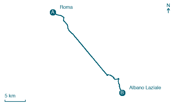
Roma → Albano Laziale
Walking distance 29.1 km
Download Appy for the stage map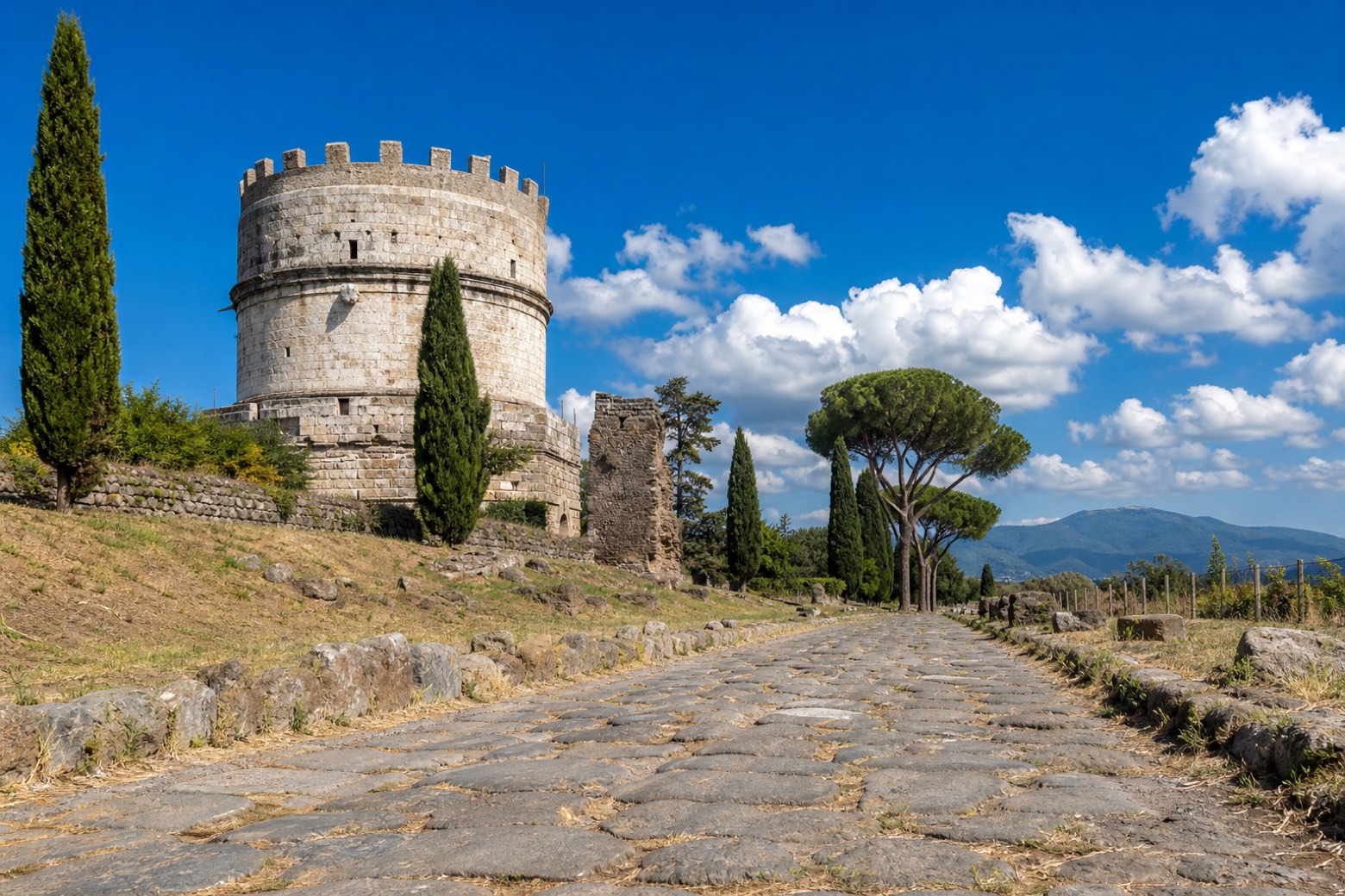
Stage information
- Ascent
- 419 m
- Descent
- 75 m
Difficulty: challenging
Walking the stage
From the Basilica di San Pietro past Castel Sant'Angelo, Piazza Venezia and the Colosseo, out of Rome through the ancient Porta San Sebastiano. Then a long stretch on the Via Appia Antica, an open-air museum of tombs and paving stones, to the Trappist convent at Frattocchie, the belvedere of Castel Gandolfo over Lago Albano and on to Albano Laziale. About 29 km.
Before leaving Roma, locate Palazzo Rusticucci-Accoramboni on the map. It is close to the starting point.
Look for these places on the stage map: Ciampino, Poggio delle Mole, Due Santi, and Castel Gandolfo.
What to see on this stage
History and landmarks
Palazzo dei Convertendi
Palace · < 100 m from the trail as the crow flies
Palace, designed by Donato Bramante, in Rome, Italy, designated as part of UNESCO World Heritage Site.
Palazzo Rusticucci-Accoramboni
Palace · < 100 m from the trail as the crow flies
Palace, designed by Domenico Fontana, in Rome, Italy.
Nature and landscape
Lacus Curtius
Lake · 200 m from the trail as the crow flies
Lake, dedicated to Marcus Curtius, in Rome, Italy.
Platano comune di Parco di Porta Capena - Via delle Terme di Caracalla 45, Roma
Monumental tree · < 100 m from the trail as the crow flies
Italy’s monumental tree register identifies this specimen as Platanus acerifolia (Aiton) Willd. It records a height of 25 m and a trunk circumference of 400 cm.
Map · Roma → Albano Laziale
Take your walk with you: download Appy
Via Francigena del Sud (tratta Laziale): Roma → Albano Laziale. Explore maps, stages and elevation in the app, and plan your train or bus journey.

