Velletri → Cori
Walking distance 19.6 km
Download Appy for the stage map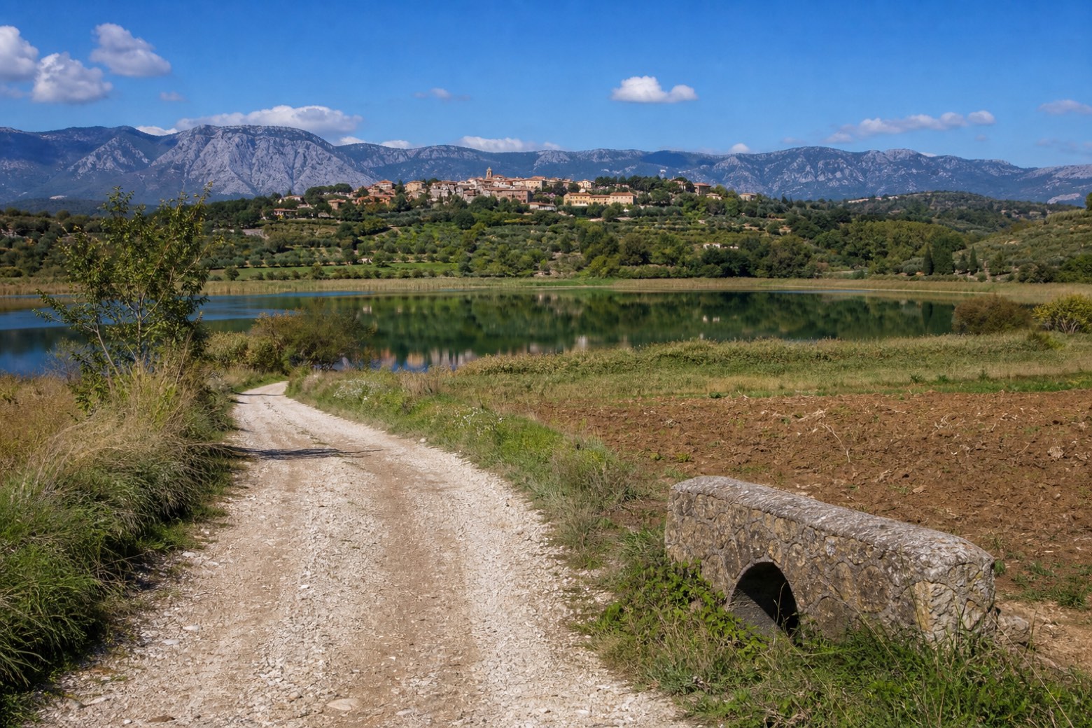
Stage information
- Ascent
- 265 m
- Descent
- 228 m
Difficulty: moderate
Walking the stage
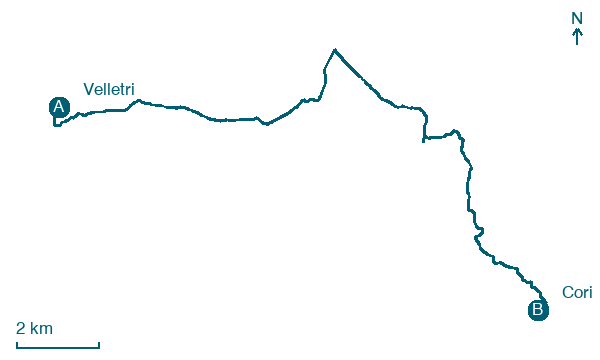
Out of Velletri through the Porta Napoletana, the old customs gate still marked "si paga gabella", then along woodland lanes and small bridges across cultivated fields. Past the Lago di Giulianello to the village of Giulianello and on through the countryside to the hill town of Cori. About 20 km.
Before leaving Velletri, locate Area Archeologica delle Sacre Stimmate on the map. It is close to the starting point. On arrival in Cori, consider a stop at Cora, close to the finish.
Look for these places on the stage map: Contrada Casale, Contrada Malatesta, and Giulianello.
What to see on this stage
History and landmarks
Area Archeologica delle Sacre Stimmate
Archaeological site · 200 m from the trail as the crow flies
Archaeological site, in Velletri, Italy, designated as Italian national heritage.
Cora
300 m from the trail as the crow flies
Historic center. Cori (ancient Cora) is a city and comune in the province of Latina, in the Lazio region of central Italy.
Nature and landscape
Roverella di Perunio - Via Perunio Snc, Cori
Monumental tree · 100 m from the trail as the crow flies
Italy’s monumental tree register identifies this specimen as Quercus pubescens Willd. It records a height of 22.4 m and a trunk circumference of 490 cm.
Rovere di Tirinzanola, Cori
Monumental tree · 1.5 km from the trail as the crow flies
Italy’s monumental tree register identifies this specimen as Quercus petraea (Matt.) Liebl. It records a height of 15 m and a trunk circumference of 390 cm.
Map · Velletri → Cori
Take your walk with you: download Appy
Via Francigena del Sud (tratta Laziale): Velletri → Cori. Explore maps, stages and elevation in the app, and plan your train or bus journey.

