Nora → Sarroch
Walking distance 15.3 km
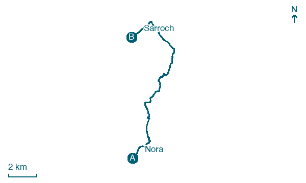
Download Appy for the stage map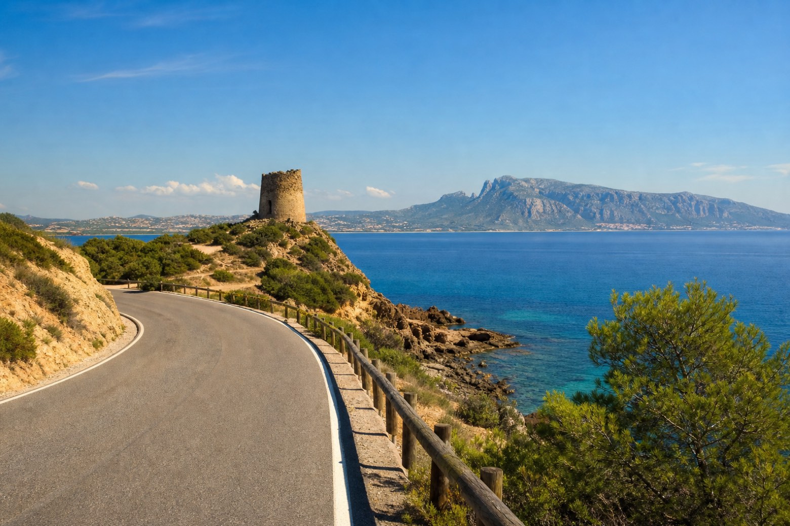
Stage information
- Ascent
- 124 m
- Descent
- 103 m
Difficulty: easy
Walking the stage
A short stage on coast road follows the shore of the Golfo di Cagliari past Torre del Diavolo, a coastal tower on the Sarroch shore, with the Sella del Diavolo visible far ahead across the gulf. The stage ends in the town of Sarroch.
Look for these places on the stage map: Pula, Porto Columbu, and Perd'è Sali.
What to see on this stage
History and landmarks
Torre di San Maccario
Tower · 700 m from the trail as the crow flies
Tower of San Maccario. Tower, in Pula, Italy, designated as Italian national heritage.
Museo "Norace"
Museum · 1.9 km from the trail as the crow flies
"Norace" Museum. Museum, in Pula, Italy, designated as Italian national heritage.
Nature and landscape
Olivastro di Viale Nora, Pula
Monumental tree · 2 km from the trail as the crow flies
Italy’s monumental tree register identifies this specimen as Olea europaea subsp. oleaster (Hoffmanns. & Link). It records a height of 6 m and a trunk circumference of 440 cm.
Map · Nora → Sarroch
Take your walk with you: download Appy
Cammino 100 Torri: Via del Martirio: Nora → Sarroch. Explore maps, stages and elevation in the app, and plan your train or bus journey.

