Sarroch → Cagliari
Walking distance 28.7 km
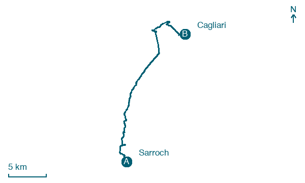
Download Appy for the stage map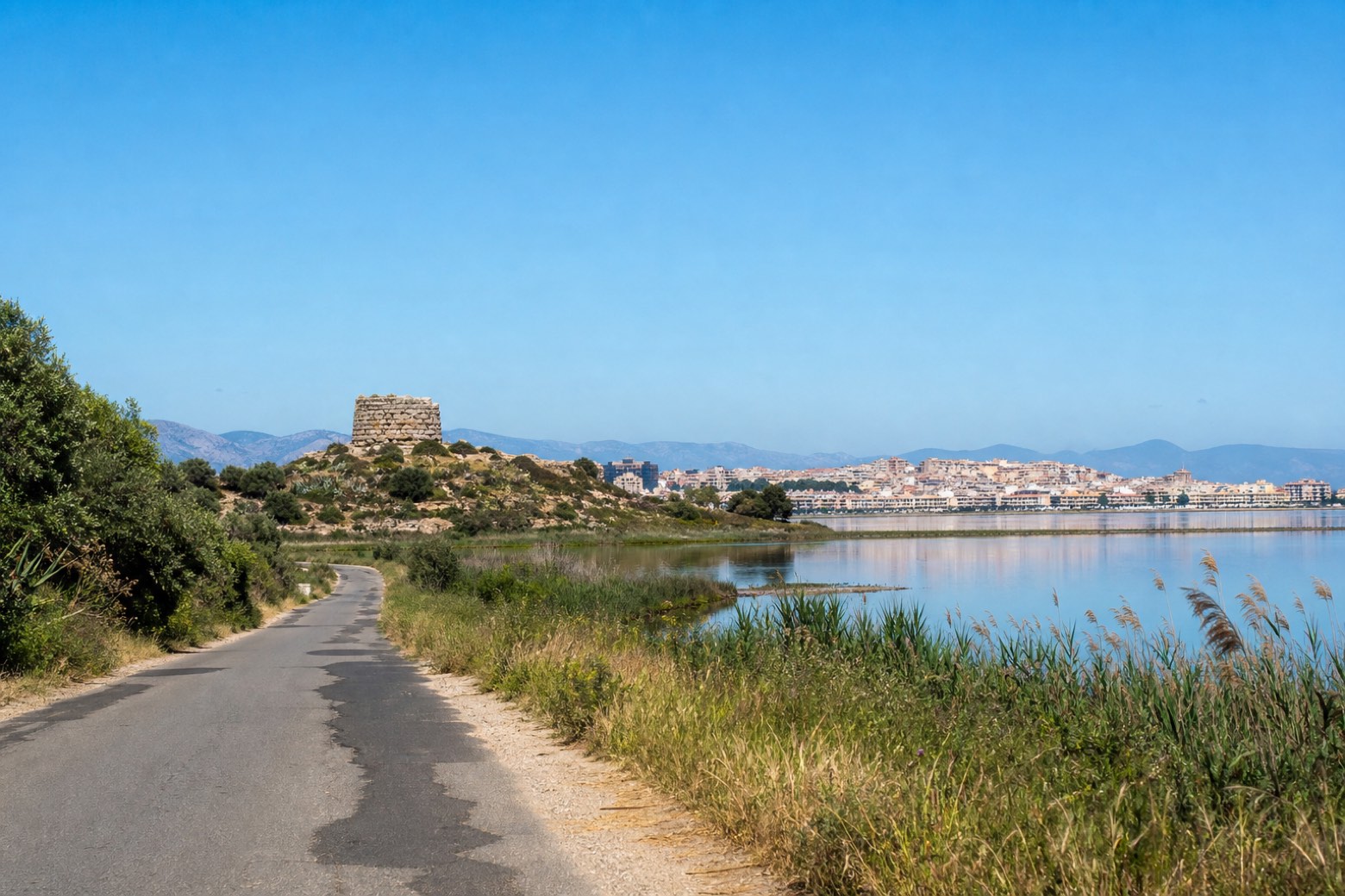
Stage information
- Ascent
- 37 m
- Descent
- 62 m
Difficulty: moderate
Walking the stage
Road and the lagoon-side route pass Nuraghe Antigori on its hill near the coast, then follow the edge of the Stagno di Cagliari, its surface not fully confirmed along part of the way, into the city. The stage closes the ring close to the Torre della Scafa, where Via degli Angeli begins.
On arrival in Cagliari, consider a stop at Torre della Quarta Regia, close to the finish.
Look for these places on the stage map: Forada Is Olias, Torre degli Ulivi settore B, Residenza del Sole, and Giorgino - Villaggio pescatori.
What to see on this stage
History and landmarks
Torre della Quarta Regia
Tower · 200 m from the trail as the crow flies
A small coastal tower, 8 to 9 metres high, built on an Aragonese settlement where the fishermen of the lagoon owed a quarter of their catch to the crown, hence the name. A storm in 1898 damaged it, and from here nearly every tower of the gulf is in sight.
Palazzina dell'Albergo Flora
Palace · 800 m from the trail as the crow flies
irregularly shaped building with perimeter walls made of stone; floors made of concrete blocks; roof with a pitched structure
Nature and landscape
Stagno di Cagliari
Lake · 800 m from the trail as the crow flies
Lake, in Province of Cagliari, Italy, designated as Ramsar site.
Eucalitto rostrato di Su Loy, Capoterra
Monumental tree · 300 m from the trail as the crow flies
Italy’s monumental tree register identifies this specimen as Eucalyptus camaldulensis Dehnh. It records a height of 25 m and a trunk circumference of 753 cm.
Map · Sarroch → Cagliari
Take your walk with you: download Appy
Cammino 100 Torri: Via del Martirio: Sarroch → Cagliari. Explore maps, stages and elevation in the app, and plan your train or bus journey.

