Verrès → Pont-Saint-Martin
Walking distance 14.8 km
Download Appy for the stage map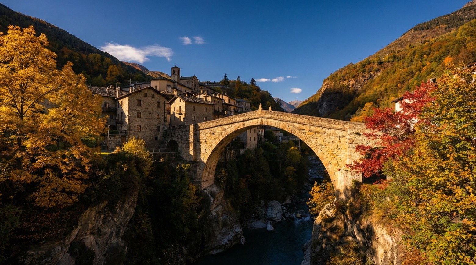
Stage information
- Ascent
- 306 m
- Descent
- 309 m
Difficulty: moderate
Walking the stage
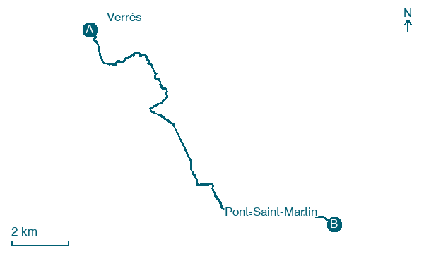
Follow a 15 km stage from Verrès to Pont-Saint-Martin, with 306 m of climbing on the way, passing through Arnad and Échallod-Dessous.
Before leaving Verrès, locate Cedro del Libano di Via Luigi Barone 8, Verrès on the map. It is close to the starting point. On arrival in Pont-Saint-Martin, consider a stop at Pont Saint Martin Castle, close to the finish.
Look for these places on the stage map: Clos De Barmes, Échallod-Dessous, Bard, and Lilaz.
What to see on this stage
History and landmarks
Pont Saint Martin Castle
Castle · 300 m from the trail as the crow flies
Castle, in Pont-Saint-Martin, Italy, designated as Italian national heritage.
Échallod Bridge
Bridge · < 100 m from the trail as the crow flies
Nature and landscape
Platano comune di Via Roma 97 - Monterey, Donnas
Monumental tree · < 100 m from the trail as the crow flies
Italy’s monumental tree register identifies this specimen as Platanus acerifolia (Aiton) Willd. It records a height of 35 m and a trunk circumference of 385 cm.
Cedro del Libano di Via Luigi Barone 8, Verrès
Monumental tree · 500 m from the trail as the crow flies
Italy’s monumental tree register identifies this specimen as Cedrus libani A.Richard. It records a height of 27 m and a trunk circumference of 460 cm.
Map · Verrès → Pont-Saint-Martin
Take your walk with you: download Appy
Via Francigena: Verrès → Pont-Saint-Martin. Explore maps, stages and elevation in the app, and plan your train or bus journey.

