Pont-Saint-Martin → Ivrea
Walking distance 21.5 km
Download Appy for the stage map
Stage information
- Ascent
- 337 m
- Descent
- 403 m
Difficulty: moderate
Walking the stage
Walk 22 km from Pont-Saint-Martin to Ivrea, with 337 m of climbing along the way, passing through Mazonì and Airale Inferiore.
On arrival in Ivrea, consider a stop at Palazzo di Città, close to the finish.
Look for these places on the stage map: Mazonì, Settimo Vittone, Borgofranco d'Ivrea, and Cantone Pitetti.
What to see on this stage
History and landmarks
Palazzo di Città
Palace · < 100 m from the trail as the crow flies
Palace. Designated as Italian national heritage.
Palazzo del Vescovado
Palace · < 100 m from the trail as the crow flies
Palace. Designated as Italian national heritage.
Nature and landscape
Lago Nero
Lake · 700 m from the trail as the crow flies
Lake at 299 m elevation. Lake Nero (Italian: Lago Nero) is a lake located in Montalto Dora, Piedmont, Italy.
Lago Sirio
Lake · 700 m from the trail as the crow flies
Lake at 266 m elevation. Lake Sirio (Italian: Lago Sirio) is a lake in northern Italy.
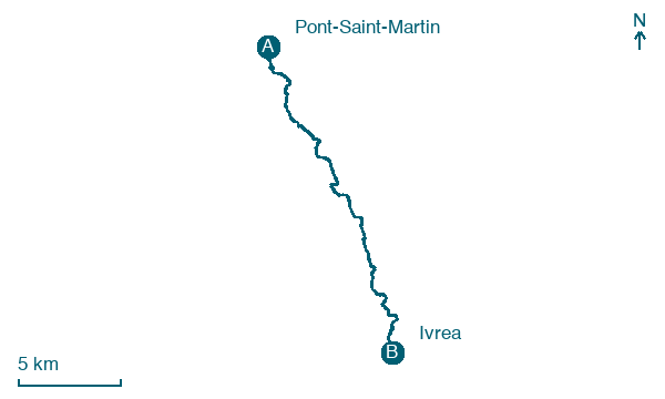
Map · Pont-Saint-Martin → Ivrea
Take your walk with you: download Appy
Via Francigena: Pont-Saint-Martin → Ivrea. Explore maps, stages and elevation in the app, and plan your train or bus journey.

