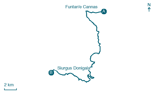
Funtan'e Cannas → Siurgus Donigala
Walking distance 29.9 km
Download Appy for the stage map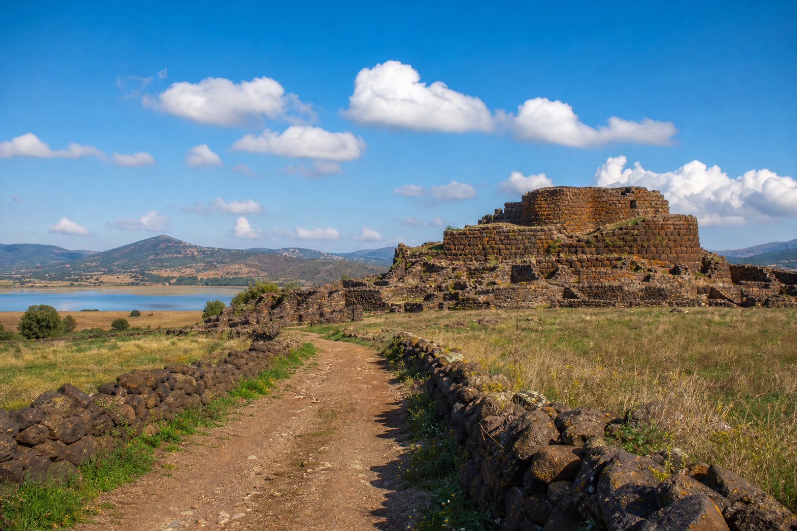
Stage information
- Ascent
- 504 m
- Descent
- 593 m
Difficulty: challenging
Walking the stage
From the Funtan'e Cannas terrace the line climbs to Orroli (organised groups take a short transfer), then dirt paths and country roads near the SP 10 pass close to the Nuraghe Arrubiu, the largest and most complex nuraghe in Sardinia, and skirt Lago Mulargia before Siurgus Donigala. A long day of about 30 km.
Look for these places on the stage map: Arrolli/Orroli.
What to see on this stage
History and landmarks
Nuraghe Goni
Archaeological site · 1,000 m from the trail as the crow flies
A circular single-tower building constructed on a plateau, which incorporates natural rock outcrops into its base structures.
Domus de Janas Is Concas de Tziu Peppi o Serrionis
Archaeological site · 1.5 km from the trail as the crow flies
An underground necropolis of the domus de janas type, consisting of two adjacent burial chambers carved into an outcrop of terrigenous metamorphic rocks. The access to the cells, facing southwest, is of the epigeic type, raised above the ground level, with a short pavilion.
Nature and landscape
Olivastro di Mesoni Margiani, Siurgus Donigala
Monumental tree · < 100 m from the trail as the crow flies
Italy’s monumental tree register identifies this specimen as Olea europaea subsp. oleaster (Hoffmanns. & Link). It records a height of 10 m and a trunk circumference of 560 cm.
Map · Funtan'e Cannas → Siurgus Donigala
Take your walk with you: download Appy
Cammino di San Giorgio Vescovo: Funtan'e Cannas → Siurgus Donigala. Explore maps, stages and elevation in the app, and plan your train or bus journey.

