Siurgus Donigala → Suelli
Walking distance 11.1 km
Download Appy for the stage map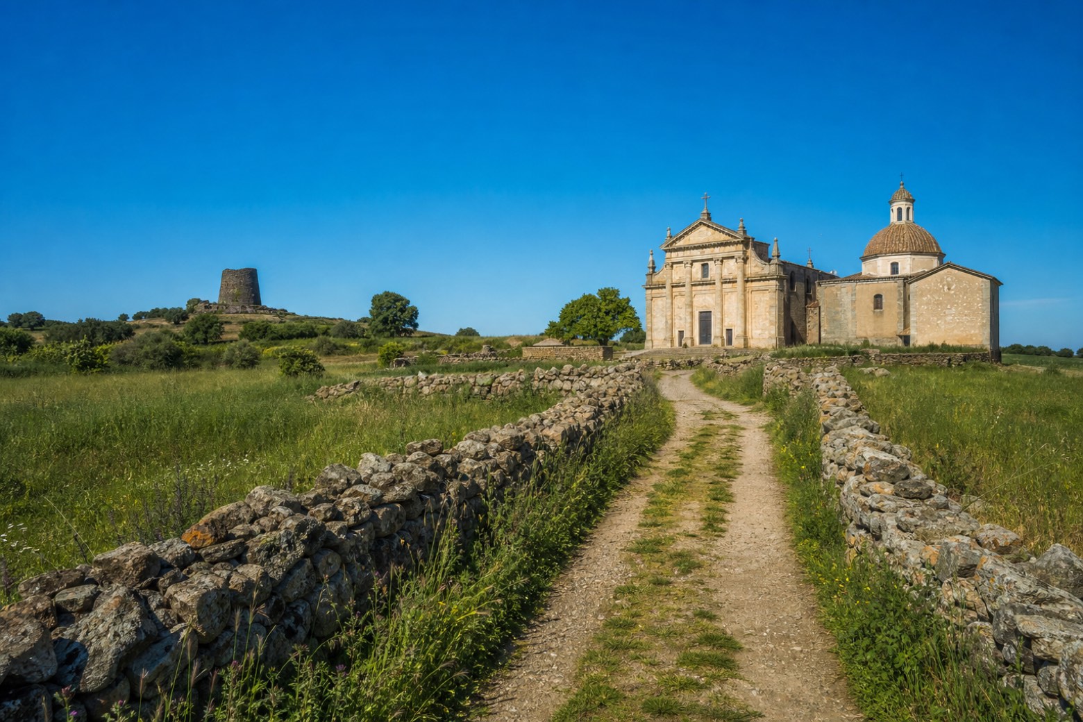
Stage information
- Ascent
- 41 m
- Descent
- 221 m
Difficulty: easy
Walking the stage
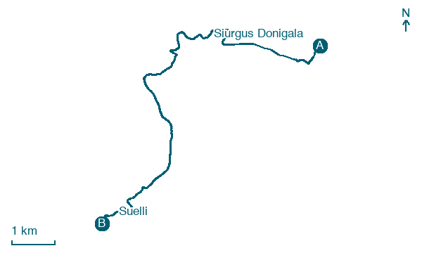
From Siurgus Donigala, 800 m of asphalt on the SP 6 lead to a dirt road through fields towards Bau Piscu and a short detour to the Nuraghe Piscu and the ancient fountain of San Giorgio. The last two km cross open fields into Suelli, ending at the piazza delle quattro chiese beside the santuario di San Giorgio and the chiesa di San Pietro.
Before leaving Siurgus Donigala, locate School on the map. It is close to the starting point.
Look for these places on the stage map: Seuni and Sisini.
What to see on this stage
History and landmarks
School
100 m from the trail as the crow flies
the building, a school from the early 20th century, similar to the Sardinian architectures of the period, develops over two levels, with an overall height of about 7 meters. It is included in a rectangle of about 35 by 13 meters.
Casa
100 m from the trail as the crow flies
the building, a municipal palace from the 20th century, similar to the Sardinian architectures of the period, develops over two floors, with an overall height of about 7 meters. It is included in a square of about 13 meters on each side.
Map · Siurgus Donigala → Suelli
Take your walk with you: download Appy
Cammino di San Giorgio Vescovo: Siurgus Donigala → Suelli. Explore maps, stages and elevation in the app, and plan your train or bus journey.

