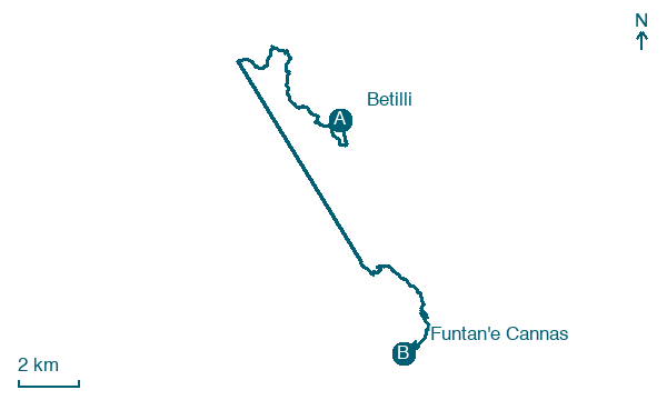
Betilli → Funtan'e Cannas
Walking distance 15.3 km
Download Appy for the stage map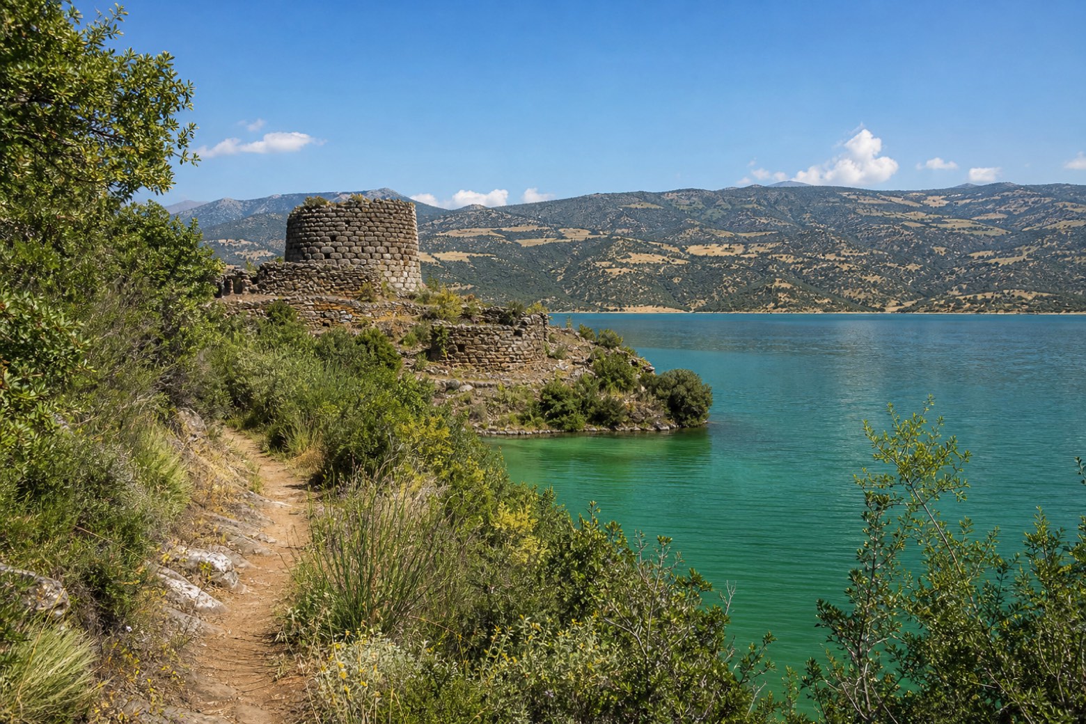
Stage information
- Ascent
- 632 m
- Descent
- 663 m
Difficulty: moderate
Walking the stage
From Betilli, 3.5 km on the SS 198 lead to the rural church of Santa Maria and a track down to the boat landing near the ponte di Villanovatulo. The walk crosses Lago del Flumendosa by boat to the Nurri shore: check the timetable locally, as no source lists a fixed schedule. From there the CAI 610 footpath follows the lake past nuraghe Stessei to the terrace of Funtan'e Cannas.
Before leaving Betilli, locate Pumping Station on the map. It is close to the starting point.
Look for these places on the stage map: Biddanoa 'e Tulu/Villanova Tulo.
What to see on this stage
History and landmarks
Pumping Station
< 100 m from the trail as the crow flies
The building, a service room of the railway station, is used as a pump housing for water lifting, contemporary to the construction of the station dating back to the late 19th century. It is set within a rectangle of approximately 2.50 by 2.00 meters, with a height of 7.00 meters.
Nature and landscape
Olivo di Stuppara, Villanova Tulo
Monumental tree · 800 m from the trail as the crow flies
Italy’s monumental tree register identifies this specimen as Olea europaea L. It records a height of 9.4 m and a trunk circumference of 550 cm.
Map · Betilli → Funtan'e Cannas
Take your walk with you: download Appy
Cammino di San Giorgio Vescovo: Betilli → Funtan'e Cannas. Explore maps, stages and elevation in the app, and plan your train or bus journey.

