Baška → Punat
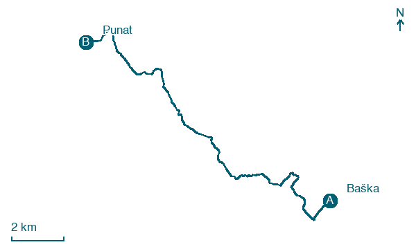
Walking distance 16.7 km
Download Appy for the stage map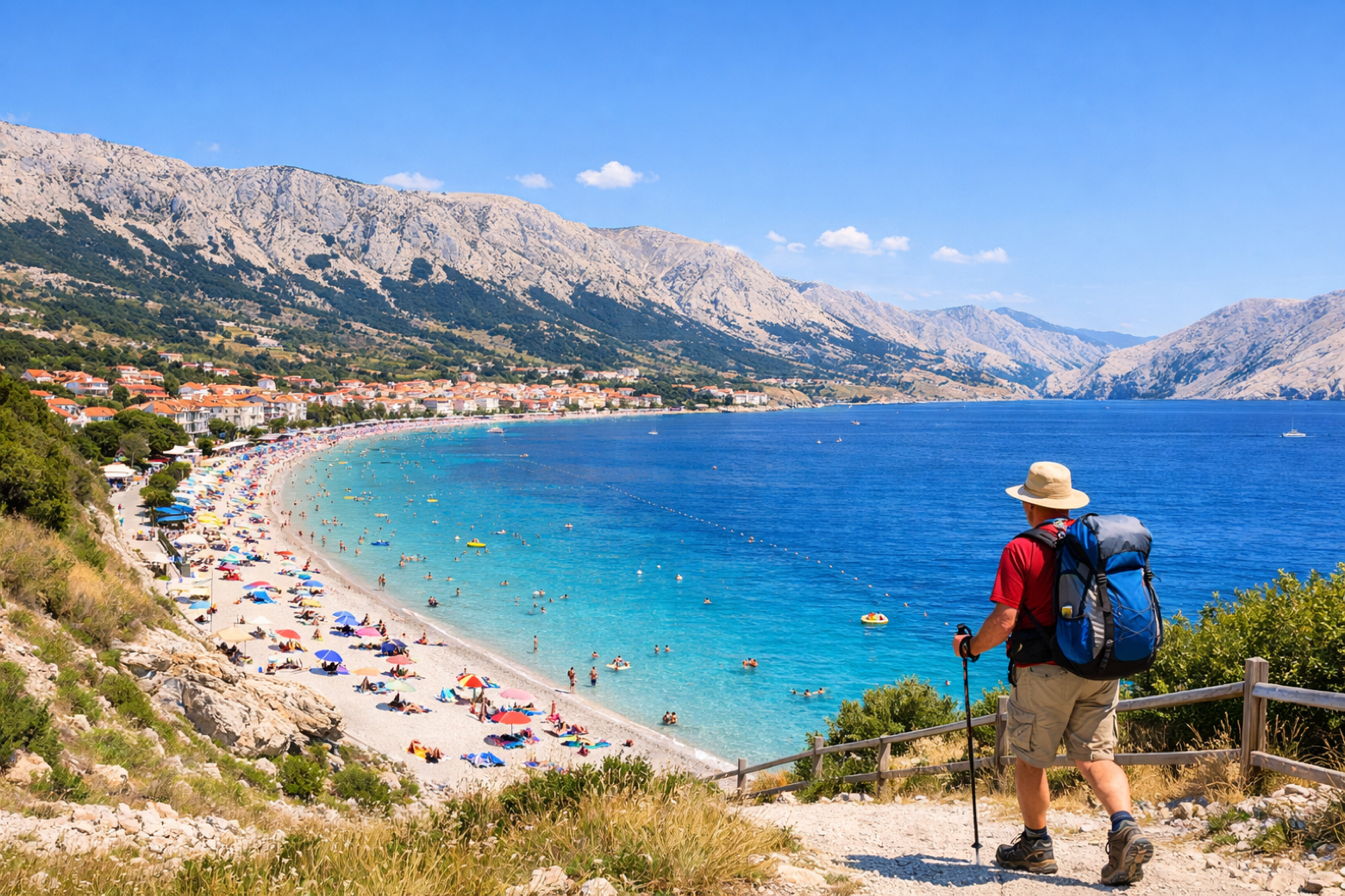
Stage information
- Ascent
- 570 m
- Descent
- 449 m
Difficulty: moderate
Walking the stage
Follow the scenic coastal path west from Baška, passing St Lucia's Church, home to the Baščanska Ploča, to the sheltered harbour of Punat and the island of Košljun.
Before leaving Baška, locate Baška on the map. It is close to the starting point.
Look for these places on the stage map: Jurandvor, Batomalj, and Draga Bašćanska.
What to see on this stage
History and landmarks
Jurandvor
< 100 m from the trail as the crow flies
Baška
200 m from the trail as the crow flies
Nature and landscape
Zakam
900 m from the trail as the crow flies
Cuzin
1.3 km from the trail as the crow flies
Map · Baška → Punat
Take your walk with you: download Appy
Camino Krk: Baška → Punat. Explore maps, stages and elevation in the app, and plan your train or bus journey.

