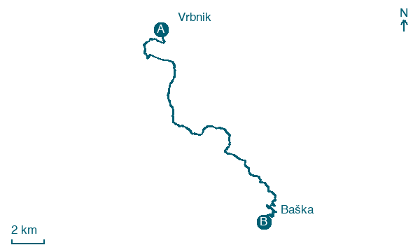
Vrbnik → Baška
Walking distance 23.8 km
Download Appy for the stage map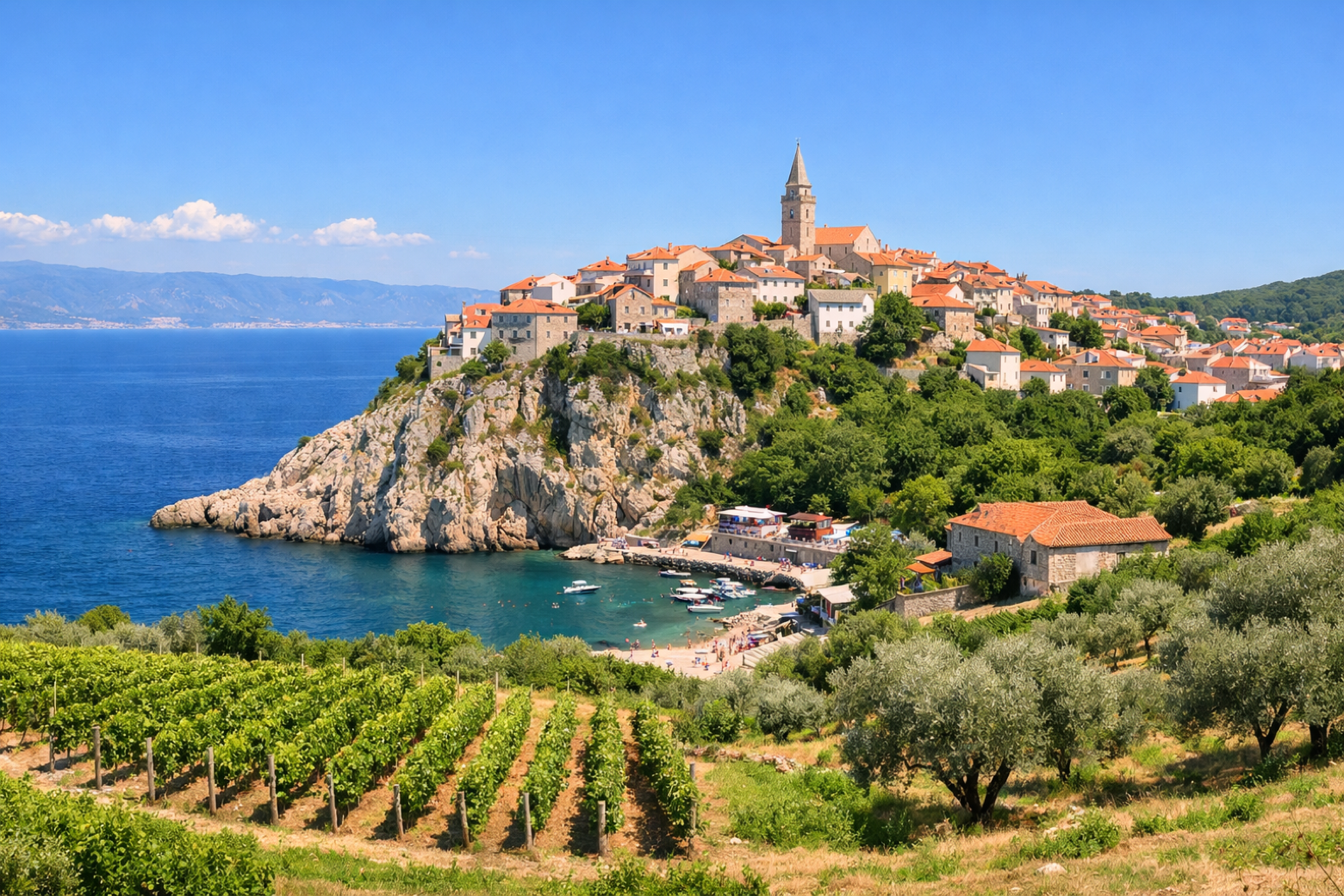
Stage information
- Ascent
- 444 m
- Descent
- 518 m
Difficulty: moderate
Walking the stage
Cross the wild karst uplands of the Krk interior, passing the Moon Plateau viewpoint, before descending to the picturesque bay of Baška with its famous pebble beach.
On arrival in Baška, consider a stop at Baška, close to the finish.
Look for these places on the stage map: Draga Bašćanska.
What to see on this stage
History and landmarks
Baška
300 m from the trail as the crow flies
Jurandvor
1.5 km from the trail as the crow flies
Nature and landscape
Stražica
200 m from the trail as the crow flies
Zakam
500 m from the trail as the crow flies
Map · Vrbnik → Baška
Take your walk with you: download Appy
Camino Krk: Vrbnik → Baška. Explore maps, stages and elevation in the app, and plan your train or bus journey.

