Punat → Krk
Walking distance 11.2 km
Download Appy for the stage map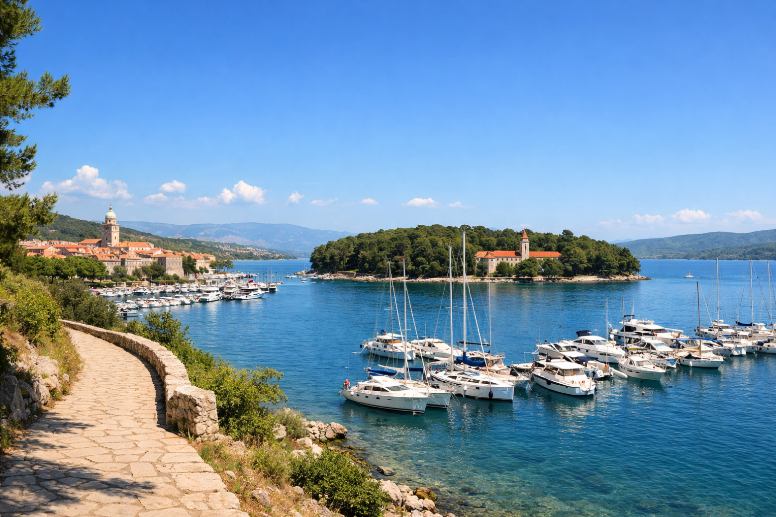
Stage information
- Ascent
- 153 m
- Descent
- 208 m
Difficulty: easy
Walking the stage
Complete the island loop with a coastal walk back to the walled city of Krk, passing through Kornić and arriving at Frankopan Castle to close the circle of this Adriatic walk.
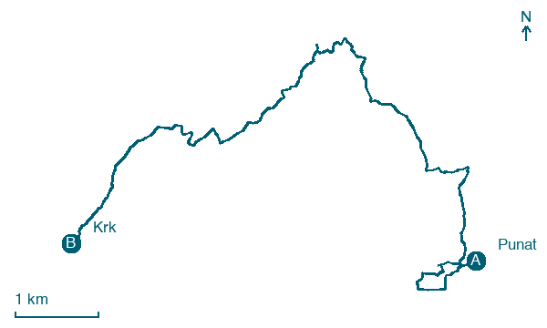
Before leaving Punat, locate Punat on the map. It is close to the starting point. On arrival in Krk, consider a stop at Frankopan Castle, close to the finish.
Look for these places on the stage map: Draga Bašćanska, Rudine, Duhljica, and Salatić.
What to see on this stage
History and landmarks
Frankopan Castle
Castle · < 100 m from the trail as the crow flies
Punat
100 m from the trail as the crow flies
Nature and landscape
Badale
400 m from the trail as the crow flies
Map · Punat → Krk
Take your walk with you: download Appy
Camino Krk: Punat → Krk. Explore maps, stages and elevation in the app, and plan your train or bus journey.

