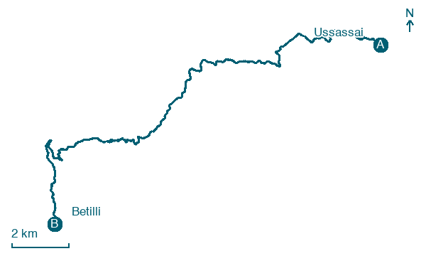
Ussassai → Betilli
Walking distance 22.6 km
Download Appy for the stage map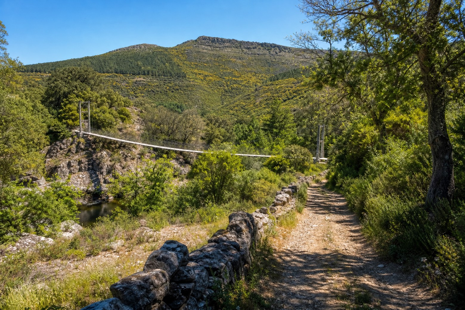
Stage information
- Ascent
- 634 m
- Descent
- 810 m
Difficulty: moderate
Walking the stage
From Ussassai, six km of old tratturi and wooded paths climb to the Arcuerì pass, then an asphalt road continues through Esterzili and over monte Lusei and monte Santa Vittoria, with pine plantations and garrigue views, to the borgo dei carbonai at Betilli, about 23 km.
Before leaving Ussassai, locate Casa on the map. It is close to the starting point. On arrival in Betilli, consider a stop at Pumping Station, close to the finish.
Look for these places on the stage map: Istersili/Esterzili.
What to see on this stage
History and landmarks
Pumping Station
< 100 m from the trail as the crow flies
The building, a service room of the railway station, is used as a pump housing for water lifting, contemporary to the construction of the station dating back to the late 19th century. It is set within a rectangle of approximately 2.50 by 2.00 meters, with a height of 7.00 meters.
Casa
100 m from the trail as the crow flies
The property, with its current configuration dating back to the 19th century, represents an important master architecture of the period. It develops on a lot of approximately 200 square meters and is divided into two parts separated by a simple portal with stone sides and a wooden lintel.
Map · Ussassai → Betilli
Take your walk with you: download Appy
Cammino di San Giorgio Vescovo: Ussassai → Betilli. Explore maps, stages and elevation in the app, and plan your train or bus journey.

