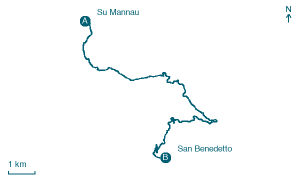
Su Mannau → San Benedetto
Walking distance 14.3 km
Download Appy for the stage map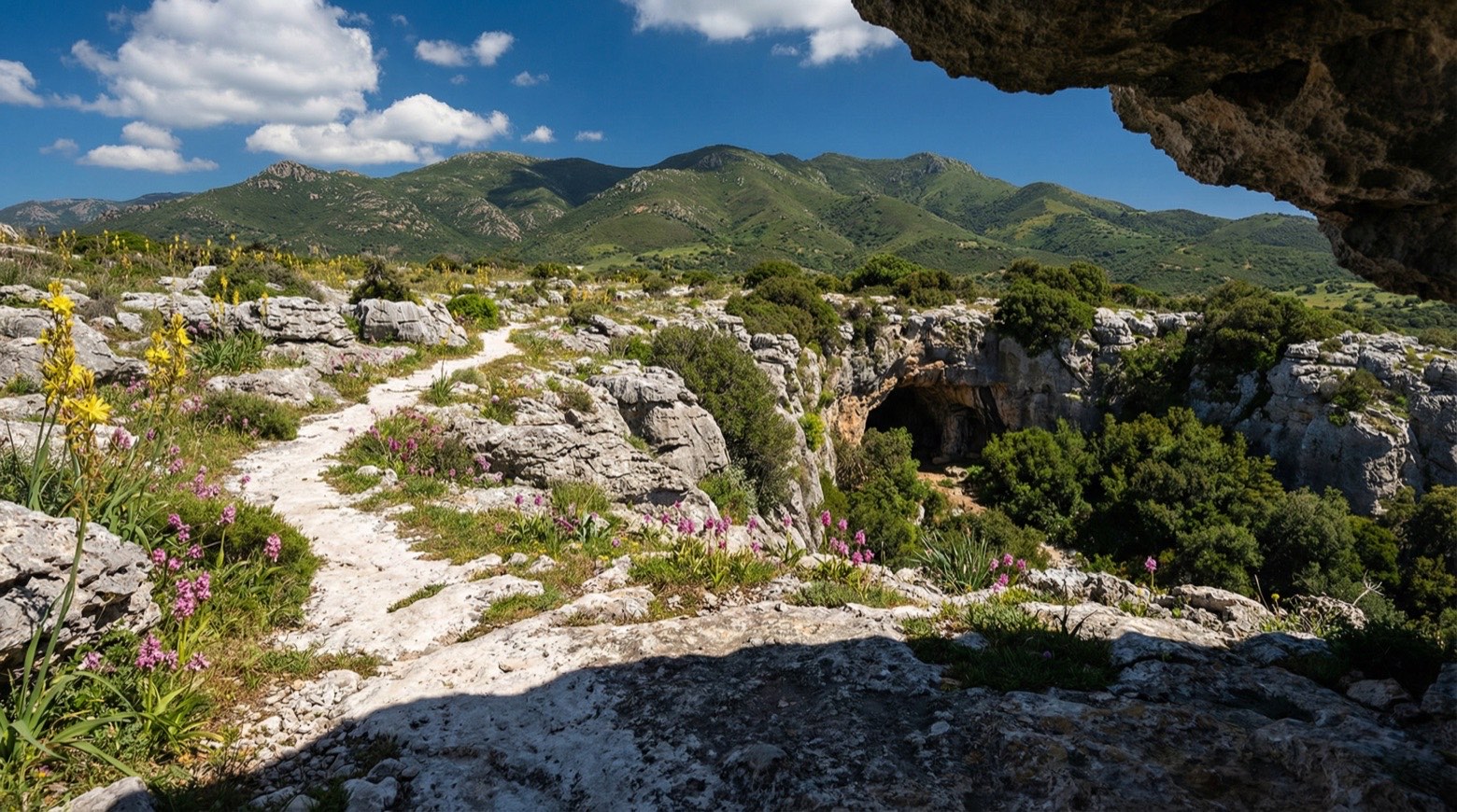
Stage information
- Ascent
- 665 m
- Descent
- 464 m
Difficulty: moderate
Walking the stage
This walk of about 14 km from Su Mannau to San Benedetto climbs through holm oak forest before descending to the Punic-Roman temple of Antas, dedicated to the god Sardus Pater. It continues past the mining excavations of Baueddu, Malacalzetta and San Benedetto.
Look for these places on the stage map: Sant'Angelo and Malacalzetta.
What to see on this stage
History and landmarks
Baueddu Extraction Complex
400 m from the trail as the crow flies
Of the original complex consisting of the extraction castle and the service building, only the ruins of the latter remain, as the well castle was demolished a long time ago.
Flue and smoke disposal system
400 m from the trail as the crow flies
The entry concerns the system intended for the disposal of fumes produced by the extraction machines of the Baueddu Well.
Nature and landscape
Sughera di Antas, Fluminimaggiore
Monumental tree · < 100 m from the trail as the crow flies
Italy’s monumental tree register identifies this specimen as Quercus suber L. It records a height of 10 m and a trunk circumference of 470 cm.
Roverella di Antas, Fluminimaggiore
Monumental tree · < 100 m from the trail as the crow flies
Italy’s monumental tree register identifies this specimen as Quercus pubescens Willd. It records a height of 13 m and a trunk circumference of 270 cm.
Map · Su Mannau → San Benedetto
Take your walk with you: download Appy
Cammino Minerario di Santa Barbara: Su Mannau → San Benedetto. Explore maps, stages and elevation in the app, and plan your train or bus journey.

