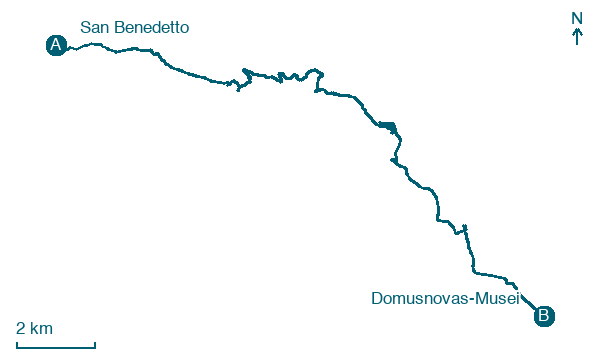
San Benedetto → Domusnovas-Musei
Walking distance 22.1 km
Download Appy for the stage map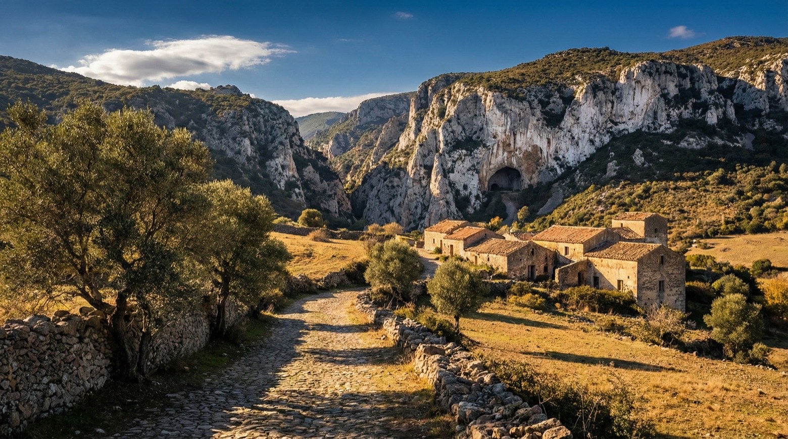
Stage information
- Ascent
- 985 m
- Descent
- 1257 m
Difficulty: challenging
Walking the stage
This walk of about 22 km from San Benedetto to Musei follows the valley floor into woodland and up to Case Marganai in the mountains, where the Linasia garden can be visited. It passes almost 800 m underground through a large karst cave once crossed by mining trucks, plus the nuraghe of Sa Domu e S'Orku.
Look for these places on the stage map: Malacalzetta and Domusnoas/Domusnovas.
What to see on this stage
History and landmarks
Chiesa di Santa Maria Assunta
Church · < 100 m from the trail as the crow flies
The internal spatiality of the church is based on a Latin Cross layout, with the peculiarity of two domes, one located at the intersection of the main nave and the transept, the other placed on the Capocroce corresponding to the altar.
Monte granatico
< 100 m from the trail as the crow flies
The building, estimated to be 12 x 30m in size, has a regular rectangular plan that is strongly elongated in relation to the direction of the road, characterized by a triple opening shaped as a full arch on the front facing the public street.
Nature and landscape
Leccio di Case Marganai, Iglesias
Monumental tree · < 100 m from the trail as the crow flies
Italy’s monumental tree register identifies this specimen as Quercus ilex L. It records a height of 35 m and a trunk circumference of 320 cm.
Map · San Benedetto → Domusnovas-Musei
Take your walk with you: download Appy
Cammino Minerario di Santa Barbara: San Benedetto → Domusnovas-Musei. Explore maps, stages and elevation in the app, and plan your train or bus journey.

