Tratalias → Sant'Antioco
Walking distance 15.5 km
Download Appy for the stage map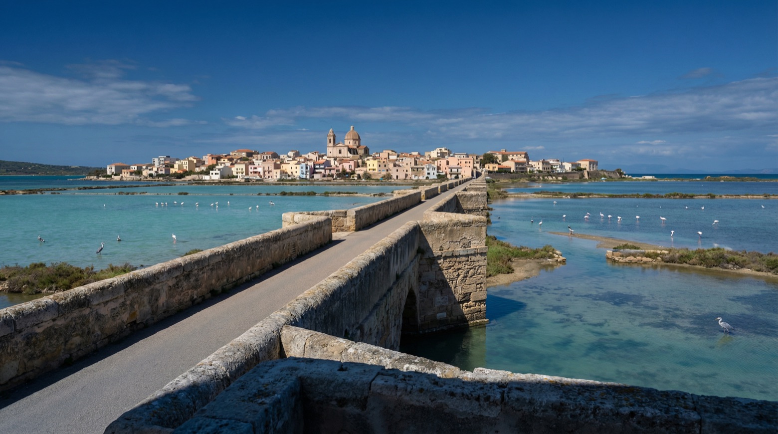
Stage information
- Ascent
- 32 m
- Descent
- 12 m
Difficulty: easy
Walking the stage
An easy walk of about 16 km from Tratalias to Sant'Antioco, passing the medieval church of Santa Maria di Monserrato and the Byzantine Santa Maria di Palmas. It continues by the wetlands of the Sant'Antioco saltworks, rich in birdlife, then crosses the footbridge to the early Christian basilica of Sant'Antioco.
On arrival in Sant'Antioco, consider a stop at Ràixe - Digital Spaces for Tabarchina Culture, close to the finish.
Look for these places on the stage map: Is Achenzas, Is Pistis, and Is Loddus.
What to see on this stage
History and landmarks
Palazzo del Capitolo poi ex Pretura
Palace · < 100 m from the trail as the crow flies
The peculiarity of this building lies in its prominence compared to some established views of the historic center. It is designed and built like any other house in the historic center but on a larger scale.
Ràixe - Digital Spaces for Tabarchina Culture
Museum · < 100 m from the trail as the crow flies
Museum, in Calasetta, Italy.
Map · Tratalias → Sant'Antioco
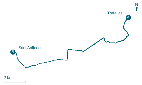
Take your walk with you: download Appy
Cammino Minerario di Santa Barbara: Tratalias → Sant'Antioco. Explore maps, stages and elevation in the app, and plan your train or bus journey.

