Candiani → Tratalias
Walking distance 24.2 km
Download Appy for the stage map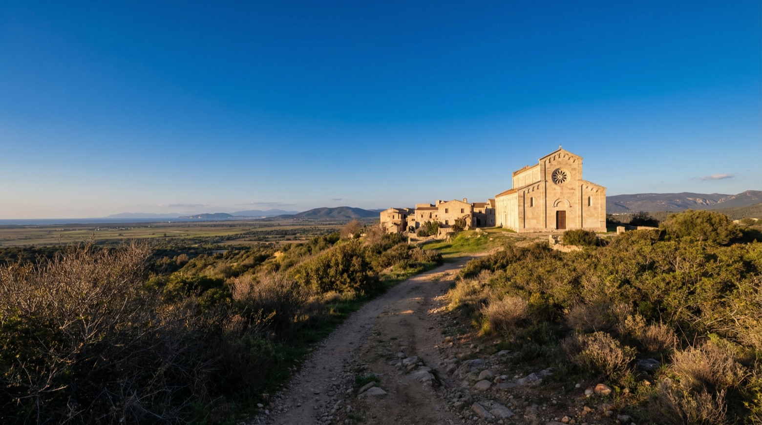
Stage information
- Ascent
- 315 m
- Descent
- 310 m
Difficulty: moderate
Walking the stage
This long but easy walk of about 24 km follows the cliffs of Porto Pinetto and Portu Su Trigu, with views over the Gulf of Palmas, from Candiani toward Tratalias. It passes vineyards of Vermentino and Carignano grapes and the dunes behind Sa Salina and Porto Botte beaches.
On arrival in Tratalias, consider a stop at Cathedral of Santa Maria di Monserrato, close to the finish.
Look for these places on the stage map: Porto Pino, Is Potettus, Porto Botte, and Villarios.
What to see on this stage
History and landmarks
Cathedral of Santa Maria di Monserrato
Church · < 100 m from the trail as the crow flies
13th-century church in Romanesque style, dedicated to Our Lady of Montserrat, in Tratalias, Italy.
Chiesa di S. Maria di Monserrato
Church · < 100 m from the trail as the crow flies
The building appears finished in its original physical conception, so that externally and internally there are no visible traces of additions over time, thus manifesting its architectural completeness.
Nature and landscape
Lago di Monte Prano
Lake · 1.6 km from the trail as the crow flies
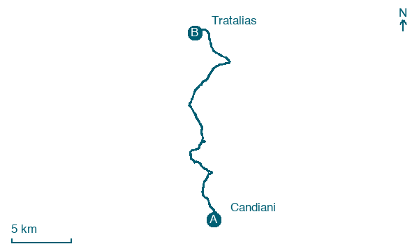
Map · Candiani → Tratalias
Take your walk with you: download Appy
Cammino Minerario di Santa Barbara: Candiani → Tratalias. Explore maps, stages and elevation in the app, and plan your train or bus journey.

