Sant'Antioco → Carbonia
Walking distance 23.4 km
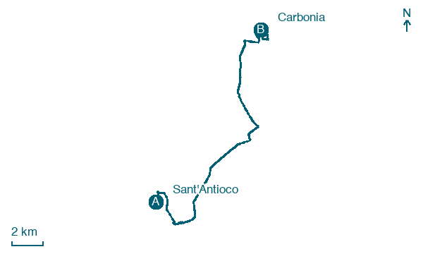
Download Appy for the stage map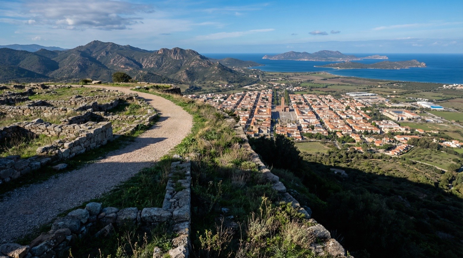
Stage information
- Ascent
- 192 m
- Descent
- 117 m
Difficulty: moderate
Walking the stage
One of the longest but easiest stages, this walk of about 24 km from Sant'Antioco to Carbonia follows the old Ferrovie Meridionali Sarde railway, now a cycle and pedestrian track. From the 1920s to the 1970s, the line carried coal from the Great Mine of Serbariu to the port of Sant'Antioco.
Before leaving Sant'Antioco, locate Fortress on the map. It is close to the starting point. On arrival in Carbonia, consider a stop at Palazzo, close to the finish.
Look for these places on the stage map: Is Loddus, Is Cordeddas, Is Loccis, and Funtanona.
What to see on this stage
History and landmarks
Palazzo
Palace · < 100 m from the trail as the crow flies
The block of buildings occupies a lot of approximately 4,000 square meters and is characterized by a "Z" shaped layout with three above-ground floors. The building features a portico system with commercial activities at the plaza level and offices on the upper levels.
Fortress
Castle · < 100 m from the trail as the crow flies
The building is located on the rocky peak of the hill that dominates the town of Sant'Antioco and looks east towards the lagoon and west towards the countryside.
Map · Sant'Antioco → Carbonia
Take your walk with you: download Appy
Cammino Minerario di Santa Barbara: Sant'Antioco → Carbonia. Explore maps, stages and elevation in the app, and plan your train or bus journey.

