Masainas → Candiani
Walking distance 19.4 km
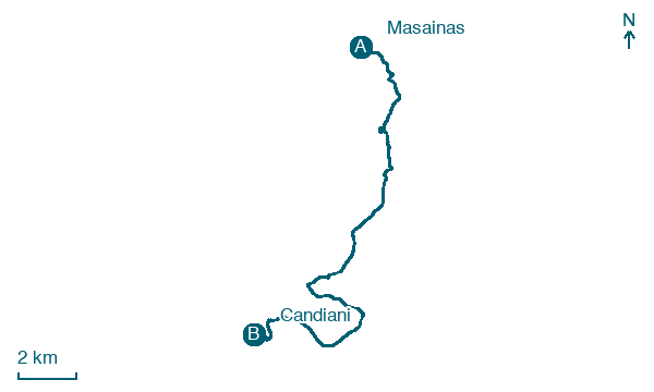
Download Appy for the stage map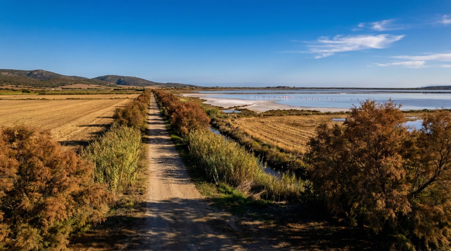
Stage information
- Ascent
- 290 m
- Descent
- 331 m
Difficulty: moderate
Walking the stage
This walk of about 19 km crosses from the plains of Lower Sulcis to the coast, from Masainas to Candiani, passing fish ponds, white dunes and the beach at Porto Pino. It also passes below the Nuraghe Arresi, which overlooks the town of Sant'Anna Arresi.
Before leaving Masainas, locate Olivastro di Incrocio Tra Via Roma E Via Dante, Masainas on the map. It is close to the starting point.
Look for these places on the stage map: Is Lais, Arresi/Sant'Anna Arresi, Is Pillonis, and Porto Pino.
What to see on this stage
History and landmarks
chiesa di San Giovanni Battista (nuova)
Church · 500 m from the trail as the crow flies
chiesa di San Giovanni Battista (vecchia)
Church · 500 m from the trail as the crow flies
Nature and landscape
Olivastro di Incrocio Tra Via Roma E Via Dante, Masainas
Monumental tree · 500 m from the trail as the crow flies
Italy’s monumental tree register identifies this specimen as Olea europaea subsp. oleaster (Hoffmanns. & Link). It records a height of 10 m and a trunk circumference of 360 cm.
Map · Masainas → Candiani
Take your walk with you: download Appy
Cammino Minerario di Santa Barbara: Masainas → Candiani. Explore maps, stages and elevation in the app, and plan your train or bus journey.

