Carloforte → Capo Sandalo
Walking distance 15 km
Download Appy for the stage map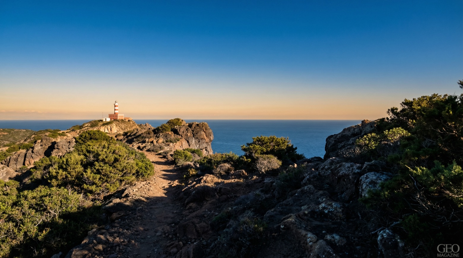
Stage information
- Ascent
- 642 m
- Descent
- 570 m
Difficulty: moderate
Walking the stage
This walk of about 15 km crosses the volcanic island from Carloforte through vineyards and windswept gardens shaped by nearly 300 years of Ligurian Tabarkin settlement. It reaches pine covered slopes and the cliffs between Capo Becco and Capo Sandalo, past old ore cart tracks and the former ochre and manganese mines of Becco. The Region lists this stage as not walkable in parts: check conditions first.
Before leaving Carloforte, locate Fortress on the map. It is close to the starting point.
What to see on this stage
History and landmarks
Fortress
Castle · 100 m from the trail as the crow flies
rectangular construction with a tripartite plan and a convex main facade. Two above-ground levels at different heights, with a taller central body.
San Vittorio tower
Tower · 900 m from the trail as the crow flies
Tower, in Carloforte, Italy, designated as Italian national heritage.
Nature and landscape
Spiaggia di Cala Fico
Beach · 1.1 km from the trail as the crow flies
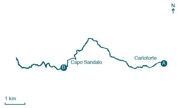
Map · Carloforte → Capo Sandalo
Take your walk with you: download Appy
Cammino Minerario di Santa Barbara: Carloforte → Capo Sandalo. Explore maps, stages and elevation in the app, and plan your train or bus journey.

