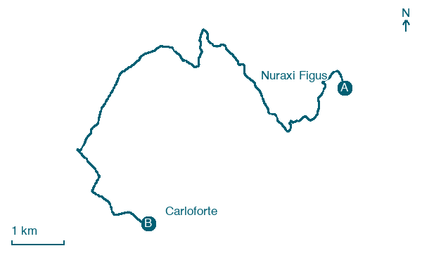
Nuraxi Figus → Carloforte
Walking distance 12 km
Download Appy for the stage map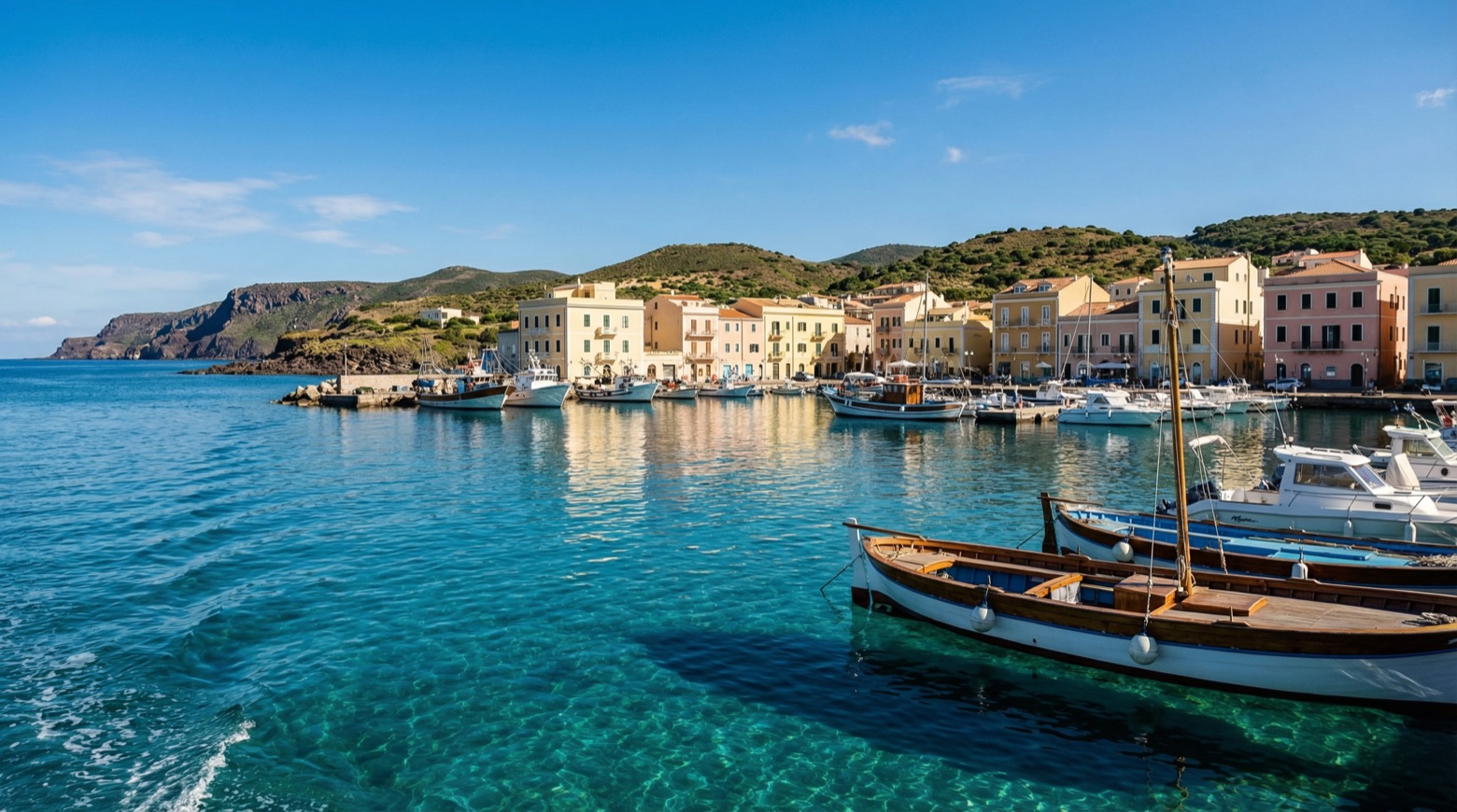
Stage information
- Ascent
- 933 m
- Descent
- 926 m
Difficulty: moderate
Walking the stage
This walk of about 12 km leaves the industrial area of Portovesme and follows traces of the old railways, depots and quays once used to ship minerals by sea. It ends with a short ferry crossing to the island town of Carloforte, known for its tuna fishing tradition.
On arrival in Carloforte, consider a stop at Spiaggia di Portoscuso, close to the finish.
Look for these places on the stage map: Portescusi/Portoscuso.
What to see on this stage
History and landmarks
Torre Spagnola
Tower · 100 m from the trail as the crow flies
A coastal tower shaped like a truncated cone, built of local lava and volcanic tuff on a hill above the little harbour. The only door sits 3.5 metres up, reached by a 16-step stair; in 1767 it held four large cannons.
Ex tonnara Su Pranu
< 100 m from the trail as the crow flies
The activity of tuna fishing, along with the establishment of facilities for processing the catch, represents the first impetus for the urban aggregation of many centers in Sardinia.
Nature and landscape
Spiaggia di Portoscuso
Beach · 100 m from the trail as the crow flies
Map · Nuraxi Figus → Carloforte
Take your walk with you: download Appy
Cammino Minerario di Santa Barbara: Nuraxi Figus → Carloforte. Explore maps, stages and elevation in the app, and plan your train or bus journey.

