Santa Caterina di Pittinuri → Putzu Idu
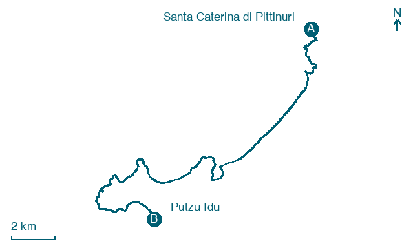
Walking distance 24 km
Download Appy for the stage map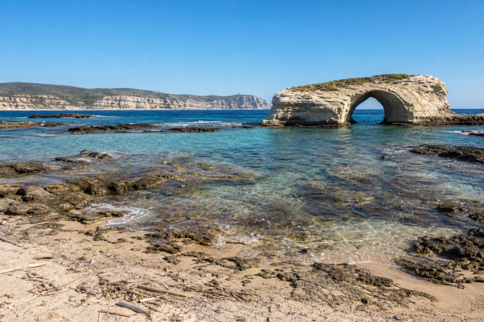
Stage information
- Ascent
- 108 m
- Descent
- 121 m
Difficulty: moderate
Walking the stage
Sand and dirt track lead south along the Cuglieri coast past S'Archittu, a natural rock arch standing in the sea, with the Capo Mannu headland visible about 17 km ahead on the horizon. The stage ends at the seaside village of Putzu Idu, a quiet base before the crossing of the Sinis peninsula.
Before leaving Santa Caterina di Pittinuri, locate Olivastro di S'Adde Sa Pruna, Cuglieri on the map. It is close to the starting point.
Look for these places on the stage map: S'Archittu, Torre del Pozzo, Su Pallosu, and Mandriola.
What to see on this stage
Nature and landscape
Capo Mannu
< 100 m from the trail as the crow flies
Olivastro di S'Adde Sa Pruna, Cuglieri
Monumental tree · 800 m from the trail as the crow flies
Italy’s monumental tree register identifies this specimen as Olea europaea subsp. oleaster (Hoffmanns. & Link). It records a height of 10 m and a trunk circumference of 760 cm.
Map · Santa Caterina di Pittinuri → Putzu Idu
Take your walk with you: download Appy
Cammino 100 Torri: Via dei Giganti: Santa Caterina di Pittinuri → Putzu Idu. Explore maps, stages and elevation in the app, and plan your train or bus journey.

