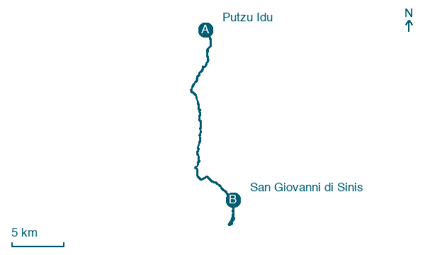
Putzu Idu → San Giovanni di Sinis
Walking distance 26.1 km
Download Appy for the stage map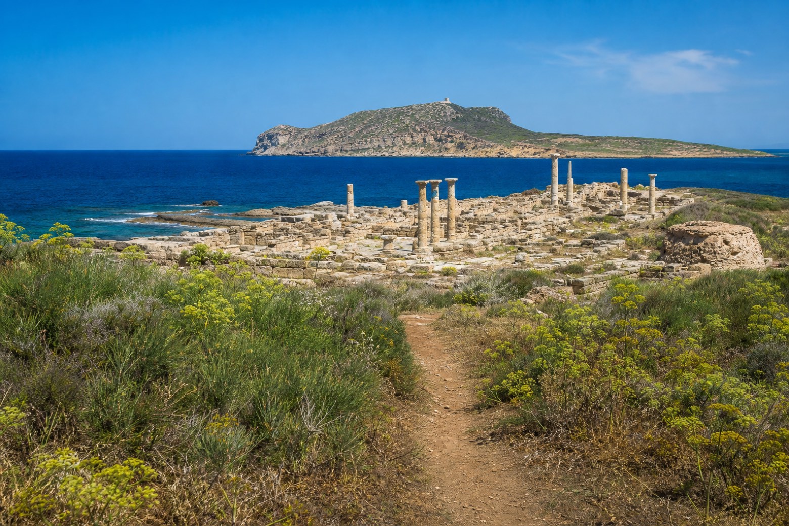
Stage information
- Ascent
- 94 m
- Descent
- 99 m
Difficulty: moderate
Walking the stage
Dirt track crosses the flat Sinis peninsula to Tharros, the ruins of the Phoenician and Roman city on Capo San Marco, its standing columns close to the sea on both sides of the point. The stage ends at the small fishing village of San Giovanni di Sinis.
On arrival in San Giovanni di Sinis, consider a stop at Tharros, close to the finish.
Look for these places on the stage map: S' Arena Scoada and Funtana Meiga.
What to see on this stage
History and landmarks
Tharros
Archaeological site · 100 m from the trail as the crow flies
Map · Putzu Idu → San Giovanni di Sinis
Take your walk with you: download Appy
Cammino 100 Torri: Via dei Giganti: Putzu Idu → San Giovanni di Sinis. Explore maps, stages and elevation in the app, and plan your train or bus journey.

