Piscinas → Montevecchio
Walking distance 18.8 km
Download Appy for the stage map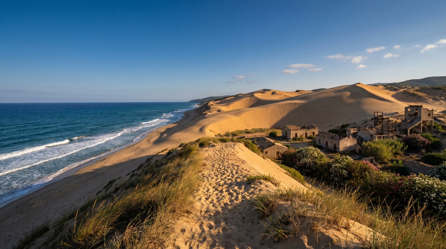
Stage information
- Ascent
- 692 m
- Descent
- 328 m
Difficulty: moderate
Walking the stage
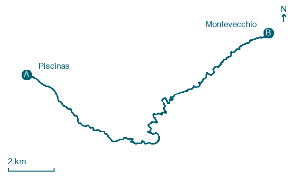
From the dunes of Piscinas, this walk of about 19 km climbs to the village of Ingurtosu and on to Montevecchio, passing the disused mine buildings of both. The route moves from dune to holm oak woods and Mediterranean scrub, where Sardinian deer are found.
Before leaving Piscinas, locate Piscinas on the map. It is close to the starting point.
Look for these places on the stage map: Bau, Pitzinurri, and Ingurtosu.
What to see on this stage
Nature and landscape
Piscinas
Beach · 300 m from the trail as the crow flies
Among the tallest living dunes in Europe, shaped by sea winds, rising about 100 metres and running two kilometres inland. The one building is an old mine warehouse, a national monument since 1985 and now a hotel; loggerhead turtles nest on the beach.
Map · Piscinas → Montevecchio
Take your walk with you: download Appy
Cammino Minerario di Santa Barbara: Piscinas → Montevecchio. Explore maps, stages and elevation in the app, and plan your train or bus journey.

