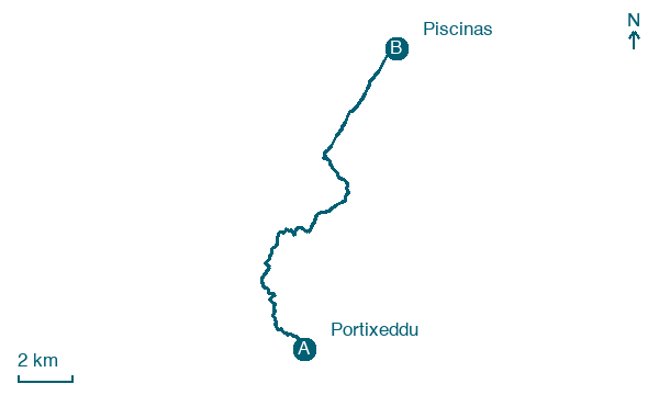
Portixeddu → Piscinas
Walking distance 16.5 km
Download Appy for the stage map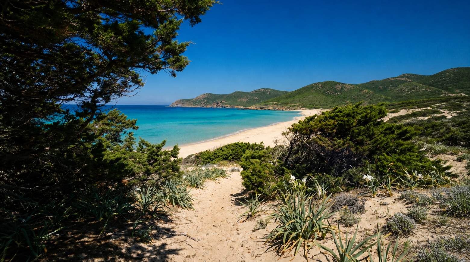
Stage information
- Ascent
- 250 m
- Descent
- 285 m
Difficulty: moderate
Walking the stage
This walk of about 17 km from Portixeddu to Piscinas climbs past the lookout post of Capo Pecora before the last 5 km cross sand. It reaches the Scivu-Piscinas dune complex, among granite boulders and tafoni rock formations, and passes a stretch of Piscinas beach used as a naturist beach.
Before leaving Portixeddu, locate Ginepro coccolone di Su Medau De Duiliu, Buggerru on the map. It is close to the starting point. On arrival in Piscinas, consider a stop at Piscinas, close to the finish.
What to see on this stage
History and landmarks
Punta de su Guardianu
1,000 m from the trail as the crow flies
Nature and landscape
Piscinas
Beach · 400 m from the trail as the crow flies
Among the tallest living dunes in Europe, shaped by sea winds, rising about 100 metres and running two kilometres inland. The one building is an old mine warehouse, a national monument since 1985 and now a hotel; loggerhead turtles nest on the beach.
Ginepro coccolone di Su Medau De Duiliu, Buggerru
Monumental tree · 400 m from the trail as the crow flies
Italy’s monumental tree register identifies this specimen as Juniperus oxycedrus subsp. macrocarpa (S. et S.) Ball. It records a height of 7 m and a trunk circumference of 274 cm.
Map · Portixeddu → Piscinas
Take your walk with you: download Appy
Cammino Minerario di Santa Barbara: Portixeddu → Piscinas. Explore maps, stages and elevation in the app, and plan your train or bus journey.

