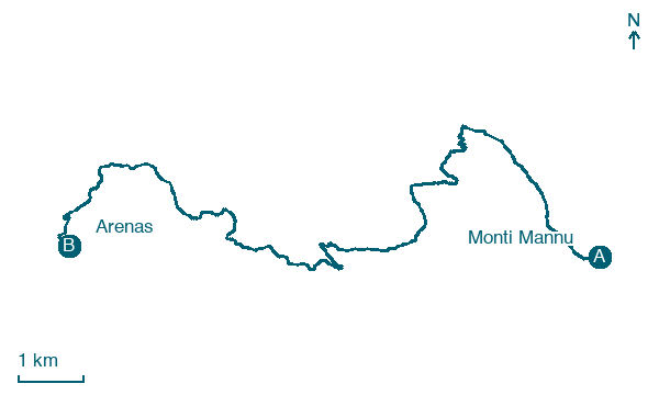
Monti Mannu → Arenas
Walking distance 15.6 km
Download Appy for the stage map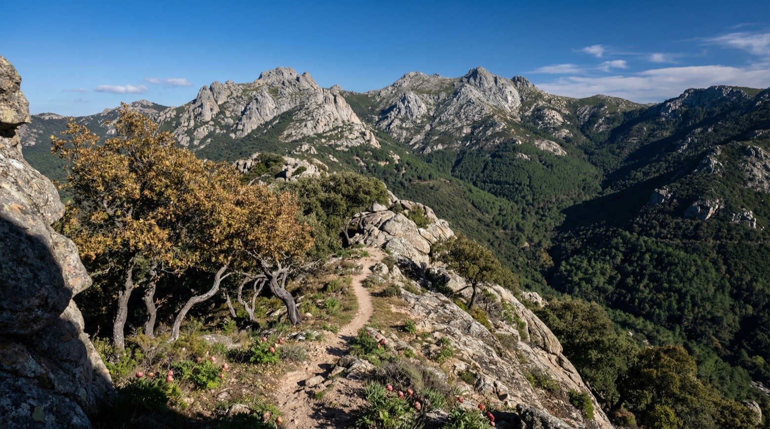
Stage information
- Ascent
- 869 m
- Descent
- 627 m
Difficulty: moderate
Walking the stage
This walk of about 16 km from Monti Mannu to Arenas crosses the granite formations of Piscina Irgas, shaped by running water, through holm oak woods and old mining excavations. Several streams must be forded, starting with the Rio Cannisoni before a steep climb.
What to see on this stage
History and landmarks
Piscina Irgas
300 m from the trail as the crow flies
Natural landmark, in Villacidro, Italy, 45 m tall.
Nature and landscape
Fillirea di Canale Serci - Canali S'Otti, Villacidro
Monumental tree · 1.7 km from the trail as the crow flies
Italy’s monumental tree register identifies this specimen as Phillyrea latifolia L. It records a height of 7 m and a trunk circumference of 250 cm.
Muru Mannu
Waterfall · 1.9 km from the trail as the crow flies
Map · Monti Mannu → Arenas
Take your walk with you: download Appy
Cammino Minerario di Santa Barbara: Monti Mannu → Arenas. Explore maps, stages and elevation in the app, and plan your train or bus journey.

