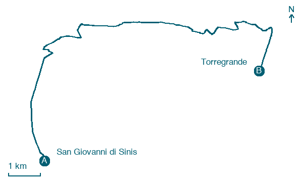
San Giovanni di Sinis → Torregrande
Walking distance 13.7 km
Download Appy for the stage map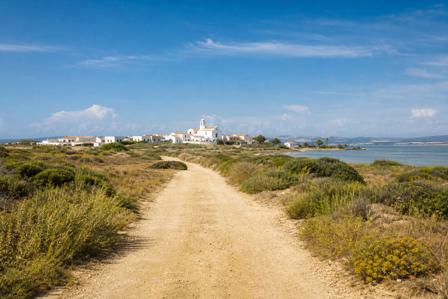
Stage information
- Ascent
- 5 m
- Descent
- 0 m
Difficulty: easy
Walking the stage
A short day on dirt road passes San Salvatore di Sinis, a small village of houses built for the September novena around its plain church, with the Stagno di Cabras lagoon to the east. The stage ends at the beach town of Torregrande.
Before leaving San Giovanni di Sinis, locate Tharros on the map. It is close to the starting point.
Look for these places on the stage map: Funtana Meiga and San Salvatore.
What to see on this stage
History and landmarks
San Salvatore
Archaeological site · 100 m from the trail as the crow flies
Tharros
Archaeological site · 1,000 m from the trail as the crow flies
Map · San Giovanni di Sinis → Torregrande
Take your walk with you: download Appy
Cammino 100 Torri: Via dei Giganti: San Giovanni di Sinis → Torregrande. Explore maps, stages and elevation in the app, and plan your train or bus journey.

