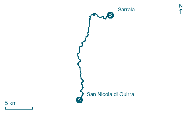
San Nicola di Quirra → Sarrala
Walking distance 26 km
Download Appy for the stage map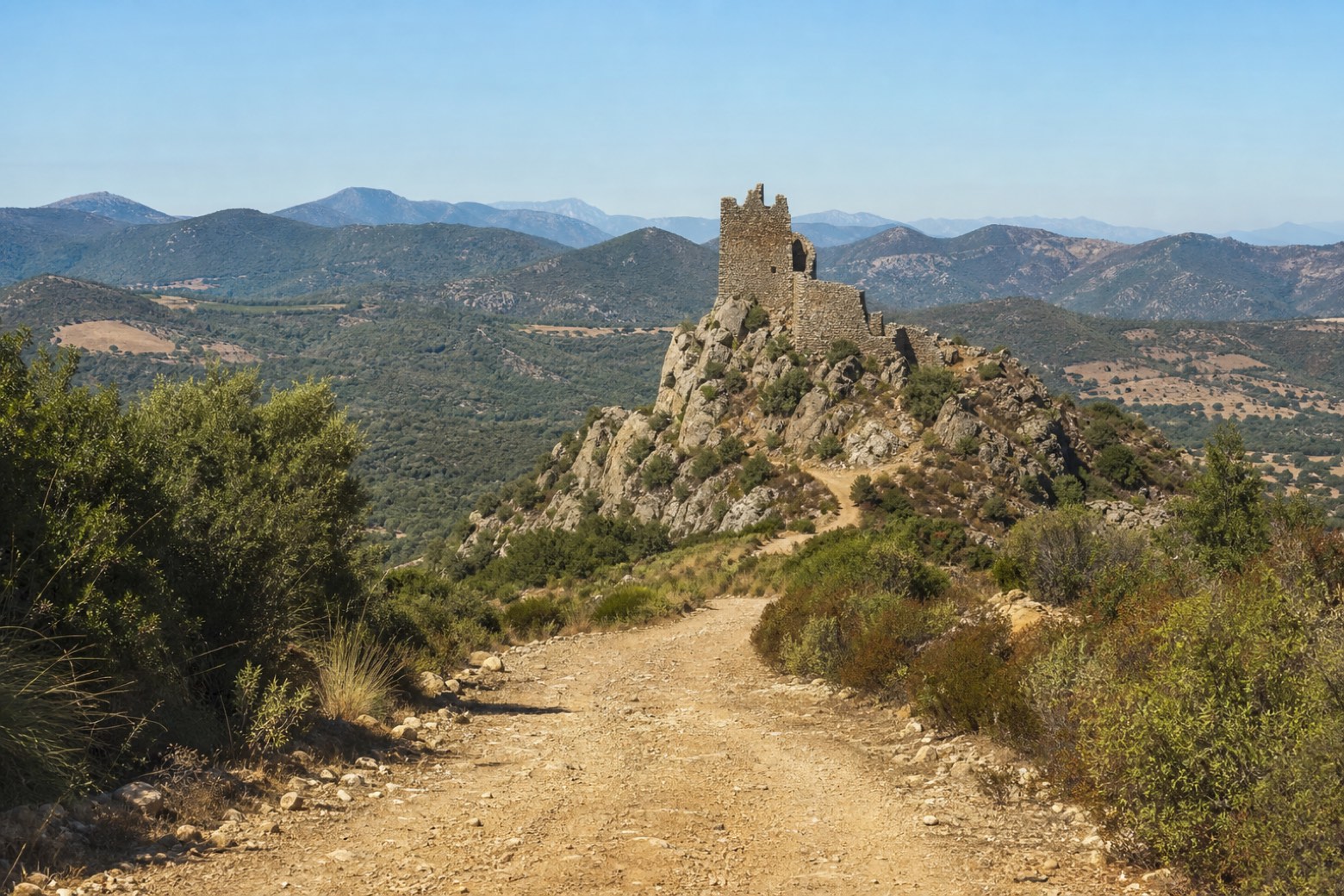
Stage information
- Ascent
- 321 m
- Descent
- 345 m
Difficulty: moderate
Walking the stage
Dirt tracks climb past the ruined Castello di Quirra on its rocky hill above the Quirra valley, the only stretch where the line leaves the coast by more than 2 km. The Salto di Quirra hills rise inland before the path turns back toward the sea and Sarrala.
Before leaving San Nicola di Quirra, locate Nuraghe Monte del Castello di Quirra I on the map. It is close to the starting point. On arrival in Sarrala, consider a stop at Torre di San Giovanni di Sarrala, close to the finish.
Look for these places on the stage map: Foxi Lioni and Foxi Murdegu.
What to see on this stage
History and landmarks
Torre di San Giovanni di Sarrala
Tower · < 100 m from the trail as the crow flies
Tower, in Tertenia, Italy, designated as Italian national heritage.
Nuraghe Monte del Castello di Quirra I
Castle · 200 m from the trail as the crow flies
single-tower nuraghe located on the slope of Monte del Castello di Quirra. Made of medium and large limestone blocks, it has a semicircular chamber and features a deep niche.
Nature and landscape
Ginepro fenicio di Foxi Murdegu, Tertenia
Monumental tree · < 100 m from the trail as the crow flies
Italy’s monumental tree register identifies this specimen as Juniperus phoenicea L. It records a height of 6 m and a trunk circumference of 210 cm.
Lentisco di Baccu Longu, Tertenia
Monumental tree · < 100 m from the trail as the crow flies
Italy’s monumental tree register identifies this specimen as Pistacia lentiscus L. It records a height of 5 m and a trunk circumference of 160 cm.
Map · San Nicola di Quirra → Sarrala
Take your walk with you: download Appy
Cammino 100 Torri: Via Sarcapos: San Nicola di Quirra → Sarrala. Explore maps, stages and elevation in the app, and plan your train or bus journey.

