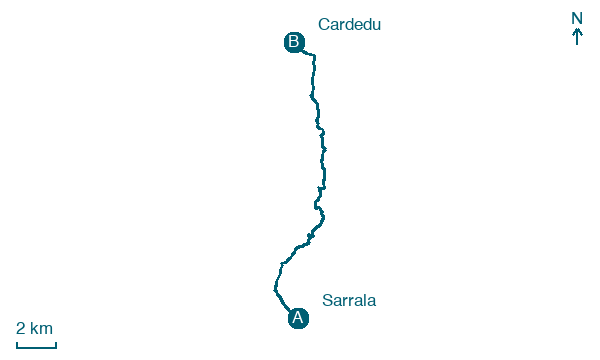
Sarrala → Cardedu
Walking distance 18.6 km
Download Appy for the stage map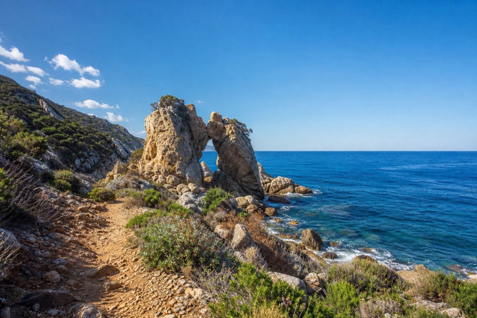
Stage information
- Ascent
- 267 m
- Descent
- 285 m
Difficulty: moderate
Walking the stage
A rocky coastal path follows the Tertenia shore past Sa Perda Stampada, a pierced rock beside the Scala d'Ogliastra, with the open sea to the east. The line continues along low cliffs and coastal tracks, past small coves and inlets, down to Cardedu, a quiet village on the Ogliastra shore.
Before leaving Sarrala, locate Torre di San Giovanni di Sarrala on the map. It is close to the starting point.
Look for these places on the stage map: Abba Urci, Dispensa, and Museddu.
What to see on this stage
History and landmarks
Torre di San Giovanni di Sarrala
Tower · < 100 m from the trail as the crow flies
Tower, in Tertenia, Italy, designated as Italian national heritage.
Nature and landscape
Carrubo di Foxiggedda, Tertenia
Monumental tree · < 100 m from the trail as the crow flies
Italy’s monumental tree register identifies this specimen as Ceratonia siliqua L. It records a height of 10 m and a trunk circumference of 340 cm.
Fillirea di Tesonis, Tertenia
Monumental tree · 100 m from the trail as the crow flies
Italy’s monumental tree register identifies this specimen as Phillyrea latifolia L. It records a height of 8 m and a trunk circumference of 290 cm.
Map · Sarrala → Cardedu
Take your walk with you: download Appy
Cammino 100 Torri: Via Sarcapos: Sarrala → Cardedu. Explore maps, stages and elevation in the app, and plan your train or bus journey.

