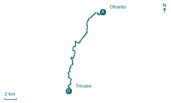
Otranto → Tricase
Walking distance 22.4 km
Download Appy for the stage map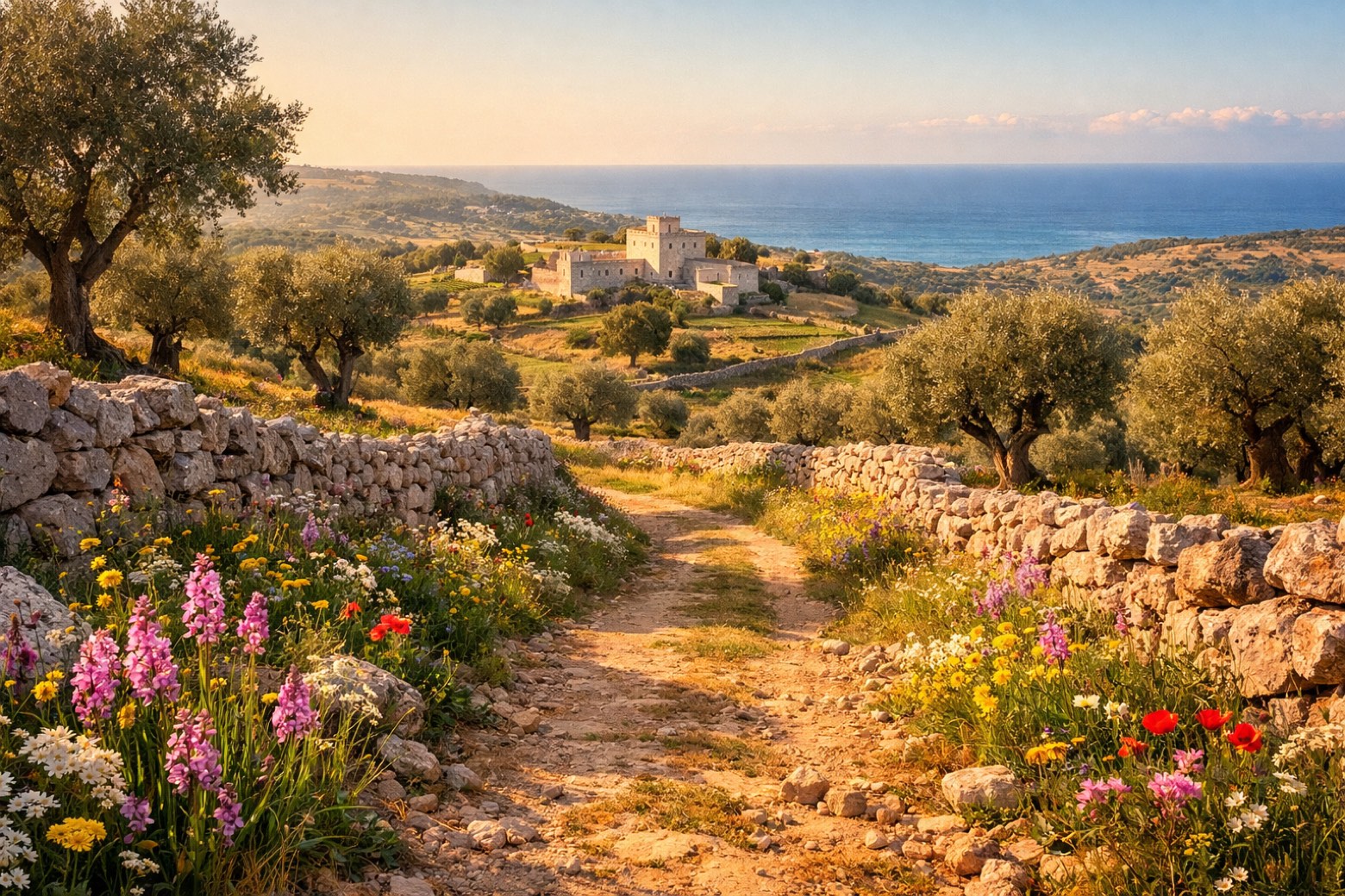
Stage information
- Ascent
- 389 m
- Descent
- 356 m
Difficulty: easy
Walking the stage
Along the dramatic Adriatic coastline past the Bauxite lake, through the Serra hills to the elegant town of Tricase.
Before leaving Otranto, locate Torre Miggiano on the map. It is close to the starting point.
Look for these places on the stage map: Castro, Marina di Marittima, Marina di Andrano, and Tricase Porto.
What to see on this stage
History and landmarks
Castello di Castro
Castle · < 100 m from the trail as the crow flies
Castle, in Castro, Italy, designated as Italian national heritage.
Torre Miggiano
Tower · < 100 m from the trail as the crow flies
Tower, in Santa Cesarea Terme, Italy, designated as Italian national heritage.
Nature and landscape
Grotta Zinzulusa
200 m from the trail as the crow flies
Grotta Romanelli
500 m from the trail as the crow flies
Map · Otranto → Tricase
Take your walk with you: download Appy
Cammino del Salento Via dei Borghi: Otranto → Tricase. Explore maps, stages and elevation in the app, and plan your train or bus journey.

