Maglie → Otranto
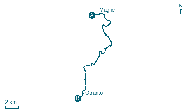
Walking distance 22.6 km
Download Appy for the stage map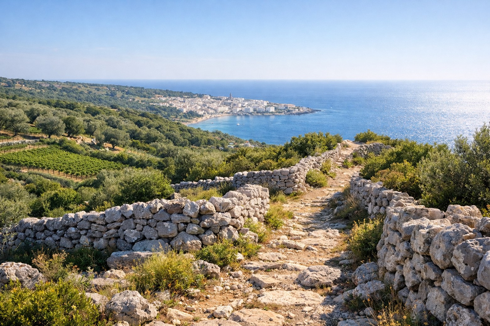
Stage information
- Ascent
- 262 m
- Descent
- 267 m
Difficulty: easy
Walking the stage
Crossing the dry stone wall landscape of the Salento interior toward the Adriatic, arriving at the historic port of Otranto with its mosaic cathedral floor.
On arrival in Otranto, consider a stop at Villa Sticchi, close to the finish.
Look for these places on the stage map: Porto Badisco and Portorusso.
What to see on this stage
History and landmarks
Torre del Serpe
Tower · < 100 m from the trail as the crow flies
Tower in Renaissance style, in Otranto, Italy, designated as Italian national heritage.
Villa Sticchi
Palace · < 100 m from the trail as the crow flies
Palace in Moorish Revival style, in Santa Cesarea Terme, Italy.
Nature and landscape
Spiaggia di Porto Grande
Beach · < 100 m from the trail as the crow flies
Grotta Palombara
< 100 m from the trail as the crow flies
Map · Maglie → Otranto
Take your walk with you: download Appy
Cammino del Salento Via dei Borghi: Maglie → Otranto. Explore maps, stages and elevation in the app, and plan your train or bus journey.

