Porto Malo → Chia
Walking distance 22.1 km
Download Appy for the stage map
Stage information
- Ascent
- 284 m
- Descent
- 288 m
Difficulty: moderate
Walking the stage
Coastal path rounds the Capo Spartivento headland past Isola Tuerredda, a small island just off the pale Tuerredda beach, before the descent into Chia, where wide dunes back the bay and an old coastal tower watches over the sea.
On arrival in Chia, consider a stop at Torre di Chia, close to the finish.
Look for these places on the stage map: Perda Longa, Sa Pinnetta, and Setti Ballas.
What to see on this stage
History and landmarks
Torre di Chia
Tower · < 100 m from the trail as the crow flies
Tower, in Domus de Maria, Italy, designated as Italian national heritage.
Bithia
Archaeological site · < 100 m from the trail as the crow flies
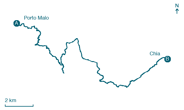
Map · Porto Malo → Chia
Take your walk with you: download Appy
Cammino 100 Torri: Via del Martirio: Porto Malo → Chia. Explore maps, stages and elevation in the app, and plan your train or bus journey.

