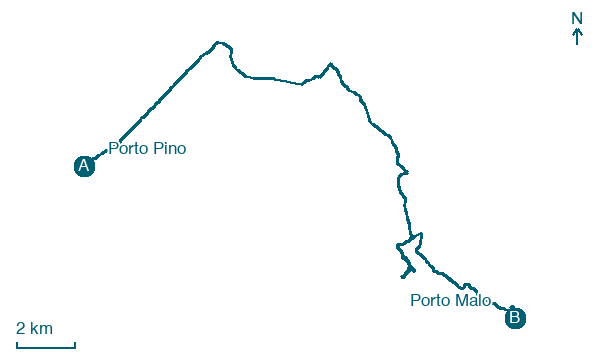
Porto Pino → Porto Malo
Walking distance 29.2 km
Download Appy for the stage map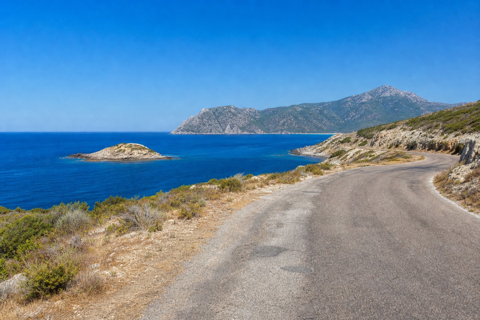
Stage information
- Ascent
- 244 m
- Descent
- 217 m
Difficulty: challenging
Walking the stage
Road runs south past Isola Rossa, a small island just off the Teulada coast, with Capo Teulada rising ahead to the south. The stage ends at Porto Malo, named for its offshore rocks rather than a village, so lodging here is not confirmed.
Look for these places on the stage map: Is Pillonis, Arresi/Sant'Anna Arresi, Sa Portedda, and Porto Budello.
What to see on this stage
Nature and landscape
Frassino meridionale di Tuerra, Teulada
Monumental tree · 200 m from the trail as the crow flies
Italy’s monumental tree register identifies this specimen as Fraxinus angustifolia Vahl. It records a height of 22 m and a trunk circumference of 520 cm.
Map · Porto Pino → Porto Malo
Take your walk with you: download Appy
Cammino 100 Torri: Via del Martirio: Porto Pino → Porto Malo. Explore maps, stages and elevation in the app, and plan your train or bus journey.

