Ivrea → Viverone
Walking distance 20.2 km
Download Appy for the stage map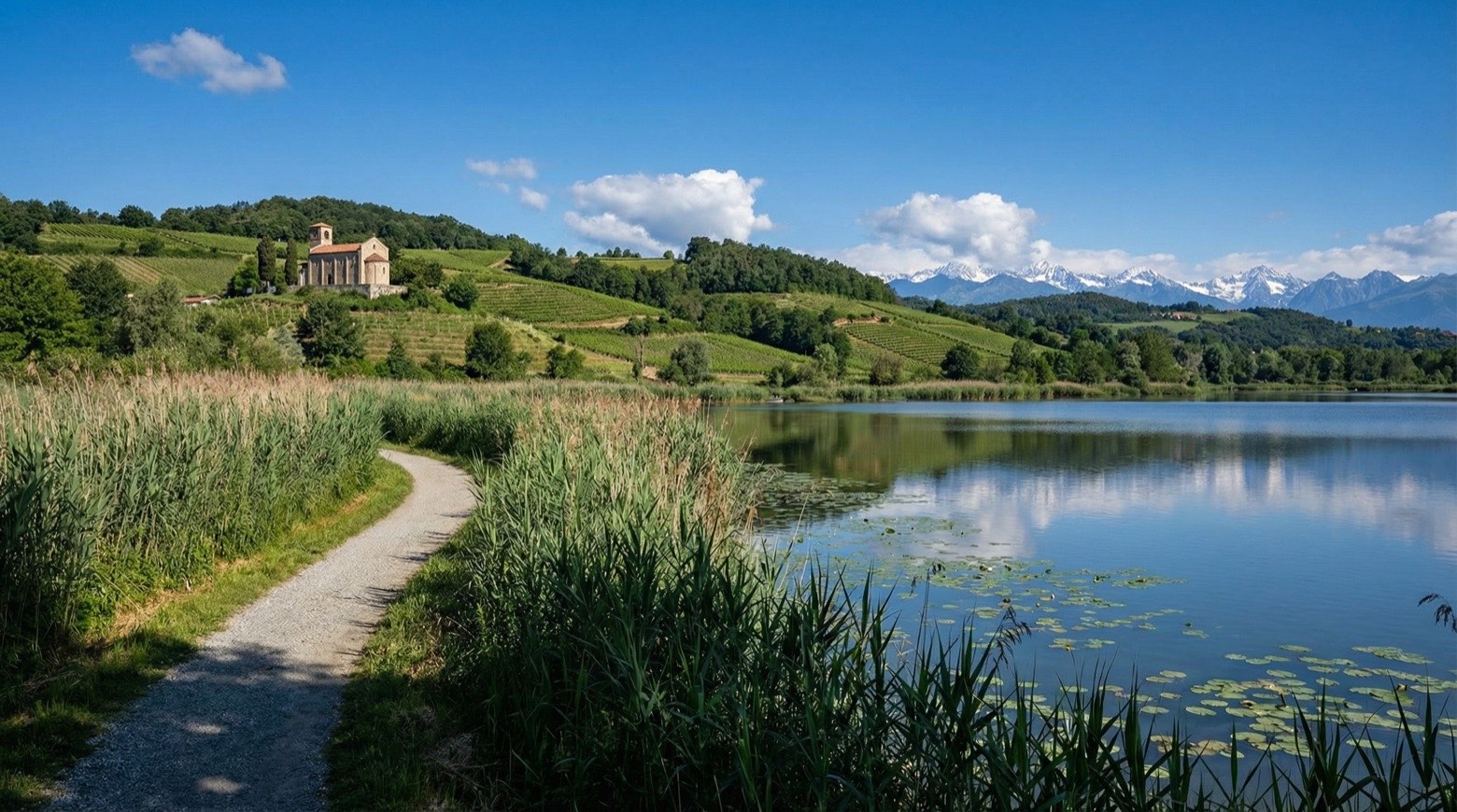
Stage information
- Ascent
- 226 m
- Descent
- 188 m
Difficulty: moderate
Walking the stage
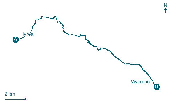
Follow a 20 km stage from Ivrea to Viverone, with 226 m of climbing on the way, passing through Burolo and Bollengo.
Before leaving Ivrea, locate Palazzo di Città on the map. It is close to the starting point.
Look for these places on the stage map: Cascine Quaccia, Burolo, Palazzo Canavese, and Zimone.
What to see on this stage
History and landmarks
Palazzo di Città
Palace · < 100 m from the trail as the crow flies
Palace. Designated as Italian national heritage.
Convent of the Sisters of Charity Immaculate Conception
Abbey · < 100 m from the trail as the crow flies
The complex consists of a main building and other connected buildings through internal courtyards and a park. The structure is made of masonry, with vaulted ceilings on the lower floors and wooden floors with a cane ceiling on the upper floors.
Nature and landscape
Lago Sirio
Lake · 1.4 km from the trail as the crow flies
Lake at 266 m elevation. Lake Sirio (Italian: Lago Sirio) is a lake in northern Italy.
Lago di Viverone
Lake · 1.6 km from the trail as the crow flies
A glacial lake, the third largest in Piedmont, with Bronze Age pile-dwelling villages from around 1500 BC. Its outflow is called Fola, Piedmontese for mad, because people said it sometimes ran backwards, which a study showed it does not.
Map · Ivrea → Viverone
Take your walk with you: download Appy
Via Francigena: Ivrea → Viverone. Explore maps, stages and elevation in the app, and plan your train or bus journey.

