Uta → Villasor
Walking distance 20.3 km
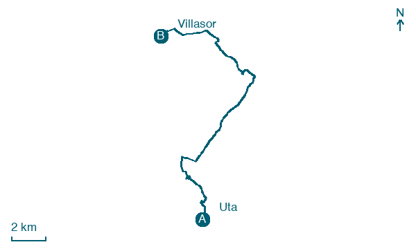
Download Appy for the stage map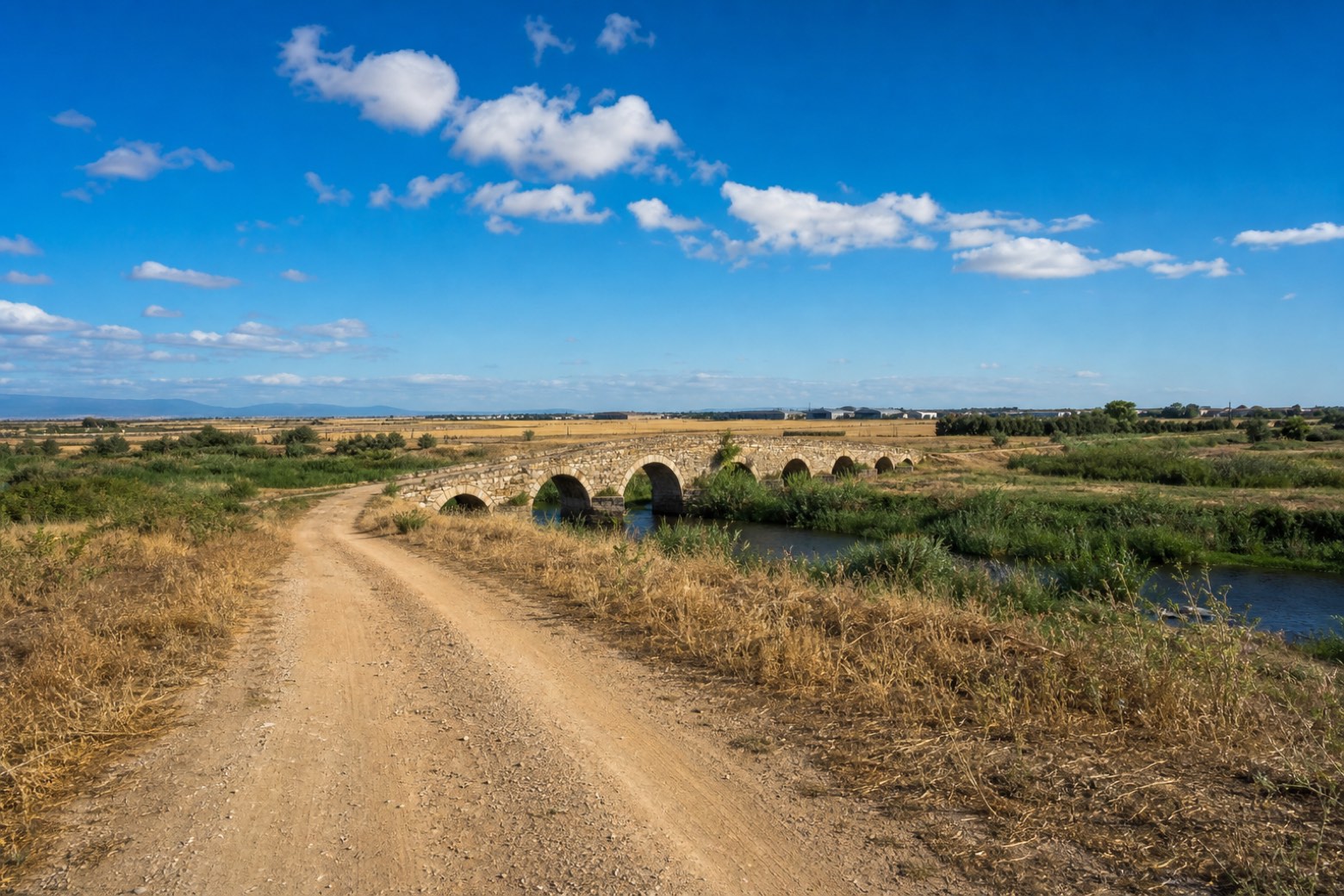
Stage information
- Ascent
- 10 m
- Descent
- 6 m
Difficulty: moderate
Walking the stage
Beyond Uta the route crosses the Flumini Mannu near an old Roman bridge, best seen when the river runs low, then follows dirt roads through the flat Campidano farmland past Decimomannu. A NATO air base lies close by, and military aircraft sometimes pass overhead on the way into Villasor.
Before leaving Uta, locate Santa Maria, Uta on the map. It is close to the starting point. On arrival in Villasor, consider a stop at Castello di Villasor, close to the finish.
Look for these places on the stage map: Deximumannu/Decimomannu and Santu Sparau/San Sperate.
What to see on this stage
History and landmarks
Santa Maria, Uta
Church · < 100 m from the trail as the crow flies
Romanesque church where Provençal and Tuscan-Lombard styles meet, attributed to the Victorine monks of Marseille in the mid-12th century. Inside, three timber-roofed naves rest on reused Roman columns, and two lions lie under the high altar.
Castello di Villasor
Castle · 200 m from the trail as the crow flies
15th-century castle, in Villasor, Italy, designated as Italian national heritage.
Map · Uta → Villasor
Take your walk with you: download Appy
Cammino Francescano in Sardegna: Uta → Villasor. Explore maps, stages and elevation in the app, and plan your train or bus journey.

