Cagliari → Uta
Walking distance 25.8 km
Download Appy for the stage map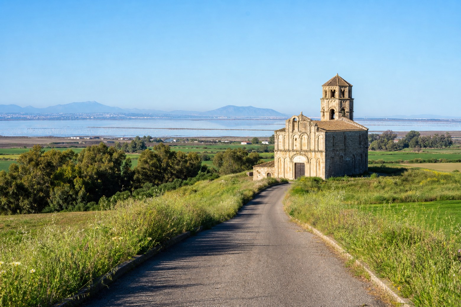
Stage information
- Ascent
- 93 m
- Descent
- 100 m
Difficulty: moderate
Walking the stage
From the Basilica di Nostra Signora di Bonaria, where the Franciscans first arrived, the route follows the western shore of the Santa Gilla lagoon, home to flamingos, then crosses an embankment through open country to the Romanesque church of Santa Maria at Uta. Stage 1 is temporarily closed: walkers reach Uta from Cagliari on the number 8A city bus, between Viale La Playa and Giorgino.
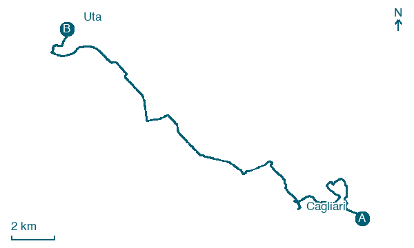
Look for these places on the stage map: Giorgino - Villaggio pescatori and Assèmini/Assemini.
What to see on this stage
History and landmarks
Palazzo Pes
Palace · < 100 m from the trail as the crow flies
irregularly shaped building, with perimeter walls made of stone and bricks; barrel and cross vaults; simple flat roof
Palazzo Boyl
Palace · < 100 m from the trail as the crow flies
Neoclassical palace built in 1840 by Carlo Pilo Boyl, with a marble balustrade of four statues, one for each season, and the family arms in the middle. It swallowed the Torre del Leone, which lost its top in the French attack of 1793.
Nature and landscape
Albero corallo di Piazza Annunziata 1, Cagliari
Monumental tree · < 100 m from the trail as the crow flies
Italy’s monumental tree register identifies this specimen as Erythrina crista-galli L. It records a height of 16 m and a trunk circumference of 95 cm.
Fico magnolioide di Piazza Giacomo Matteotti, Cagliari
Monumental tree · < 100 m from the trail as the crow flies
Italy’s monumental tree register identifies this specimen as Ficus macrophylla Desf. ex Pers. It records a height of 22.1 m and a trunk circumference of 1,200 cm.
Map · Cagliari → Uta
Take your walk with you: download Appy
Cammino Francescano in Sardegna: Cagliari → Uta. Explore maps, stages and elevation in the app, and plan your train or bus journey.

