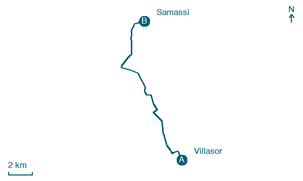
Villasor → Samassi
Walking distance 15.7 km
Download Appy for the stage map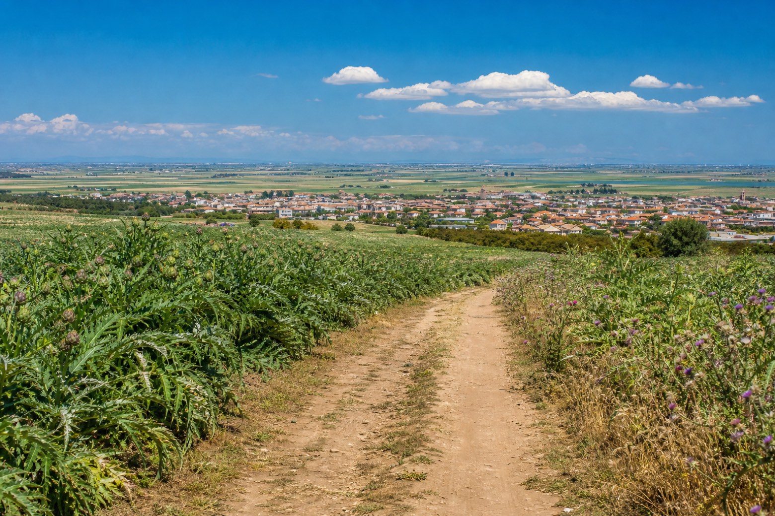
Stage information
- Ascent
- 7 m
- Descent
- 0 m
Difficulty: easy
Walking the stage
A flat crossing of the wide Campidano plain, through the fields of the so-called triangolo del carciofo, the artichoke triangle formed by Villasor, Serramanna and Samassi. Farmers work the rows and shepherds graze their flocks near Serramanna on the way into Samassi.
Before leaving Villasor, locate San Biagio on the map. It is close to the starting point.
Look for these places on the stage map: Serramanna.
What to see on this stage
History and landmarks
Castello di Villasor
Castle · 200 m from the trail as the crow flies
15th-century castle, in Villasor, Italy, designated as Italian national heritage.
San Biagio
Church · < 100 m from the trail as the crow flies
20th-century church, dedicated to Blaise of Sebaste, in Villasor, Italy.
Nature and landscape
Eucalitto rostrato di Santa Maria, Serramanna
Monumental tree · < 100 m from the trail as the crow flies
Italy’s monumental tree register identifies this specimen as Eucalyptus camaldulensis Dehnh. It records a height of 32 m and a trunk circumference of 460 cm.
Map · Villasor → Samassi
Take your walk with you: download Appy
Cammino Francescano in Sardegna: Villasor → Samassi. Explore maps, stages and elevation in the app, and plan your train or bus journey.

