Santa Maria Navarrese → Golgo
Walking distance 18.8 km
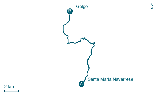
Download Appy for the stage map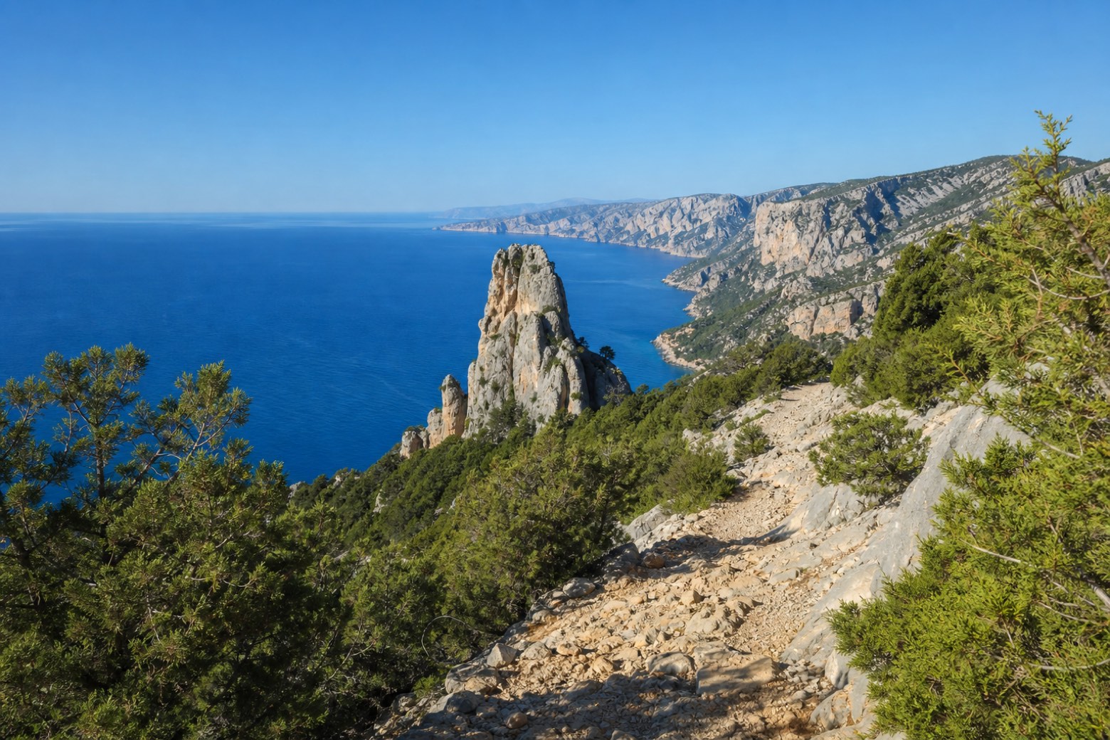
Stage information
- Ascent
- 805 m
- Descent
- 445 m
Difficulty: moderate
Walking the stage
Steep rocky mule tracks climb past Perda Longa di Baunei, a tall limestone pinnacle at the edge of the sea, with the cliffs of the Golfo di Orosei opening to the north. The stage ends on the Golgo plateau, a pastoral upland with no road access, where lodging is not confirmed.
Before leaving Santa Maria Navarrese, locate Carrubo di Santa Maria Navarrese - Piazza Principessa di Navarra, Baunei on the map. It is close to the starting point.
Look for these places on the stage map: Baunei.
What to see on this stage
History and landmarks
Casa
800 m from the trail as the crow flies
The building, a toll house from the early XX century, represents a typical example of architecture from that period. It consists of two above-ground floors and one basement, with an overall height of about 8 m and is enclosed within a rectangle of approximately 20 by 10 m.
Nature and landscape
Perda Longa di Baunei
100 m from the trail as the crow flies
Carrubo di Santa Maria Navarrese - Piazza Principessa di Navarra, Baunei
Monumental tree · 200 m from the trail as the crow flies
Italy’s monumental tree register identifies this specimen as Ceratonia siliqua L. It records a height of 8.6 m and a trunk circumference of 332 cm.
Map · Santa Maria Navarrese → Golgo
Take your walk with you: download Appy
Cammino 100 Torri: Via Ogliastra: Santa Maria Navarrese → Golgo. Explore maps, stages and elevation in the app, and plan your train or bus journey.

