Golgo → Cala Luna
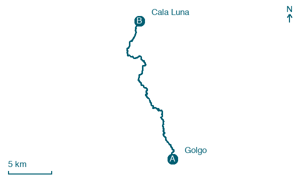
Walking distance 24.6 km
Download Appy for the stage map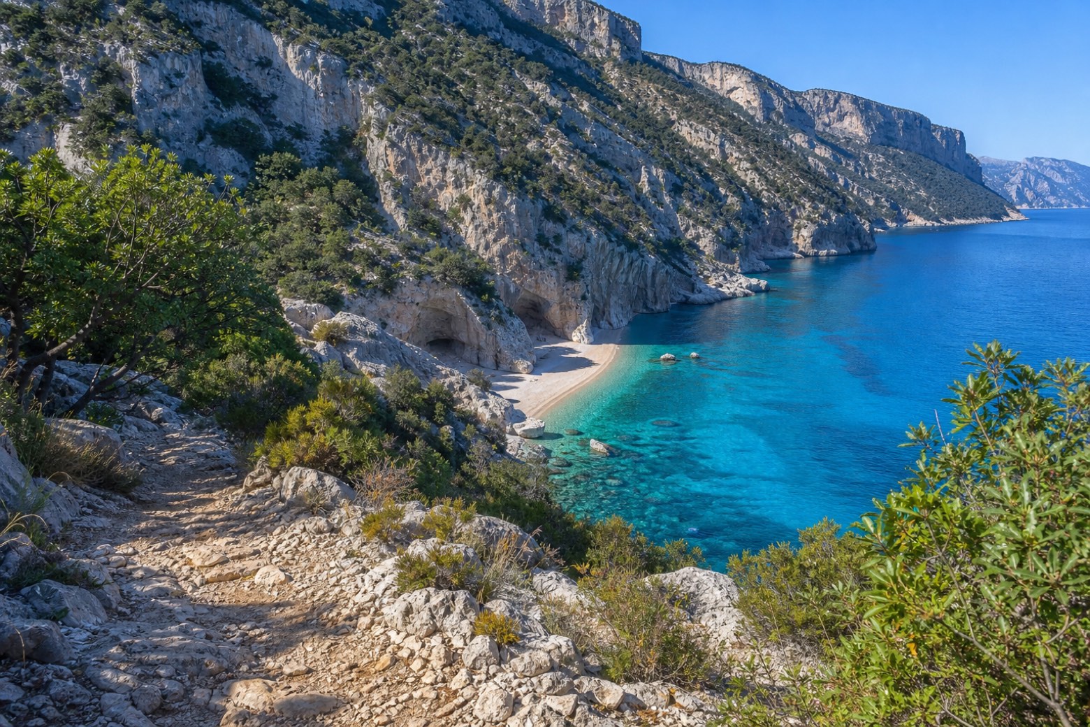
Stage information
- Ascent
- 655 m
- Descent
- 1027 m
Difficulty: challenging
Walking the stage
Rough limestone paths, old shepherd and charcoal-burner trails, follow the sheer Supramonte coast to Cala Luna, a pebble and sand beach backed by limestone cliffs and caves. There is no road here: the stage ends on the beach itself, so lodging is not confirmed.
Before leaving Golgo, locate Bagolaro di San Pietro - Golgo, Baunei on the map. It is close to the starting point.
What to see on this stage
Nature and landscape
Sughera di Ferir D'Abba, Baunei
Monumental tree · 100 m from the trail as the crow flies
Italy’s monumental tree register identifies this specimen as Quercus suber L. It records a height of 14 m and a trunk circumference of 450 cm.
Bagolaro di San Pietro - Golgo, Baunei
Monumental tree · 100 m from the trail as the crow flies
Italy’s monumental tree register identifies this specimen as Celtis australis L. It records a height of 20 m and a trunk circumference of 525 cm.
Map · Golgo → Cala Luna
Take your walk with you: download Appy
Cammino 100 Torri: Via Ogliastra: Golgo → Cala Luna. Explore maps, stages and elevation in the app, and plan your train or bus journey.

