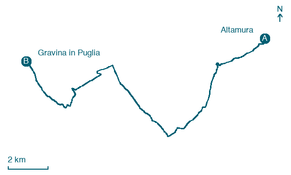
Altamura → Gravina in Puglia
Walking distance 20 km
Download Appy for the stage map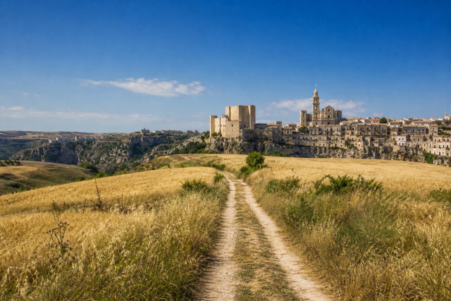
Stage information
- Ascent
- 132 m
- Descent
- 259 m
Difficulty: moderate
Walking the stage
The stage begins at Altamura's Cattedrale di Santa Maria Assunta, built in 1232 under Frederick II, and winds through the narrow lanes and claustri of the old town. It crosses open grain fields on the plain between the Murge plateau and the Fossa Bradanica. The walk ends in Gravina in Puglia, below the towers of the Castello Svevo and the cathedral basilica.
Before leaving Altamura, locate Monastero di Santa Maria del Soccorso on the map. It is close to the starting point.
What to see on this stage
History and landmarks
Porta Matera
< 100 m from the trail as the crow flies
Monastero di Santa Maria del Soccorso
Monastery · < 100 m from the trail as the crow flies
Nature and landscape
Gelso bianco di Via Madonna della Croce 117, Altamura
Monumental tree · 700 m from the trail as the crow flies
Italy’s monumental tree register identifies this specimen as Morus alba L. It records a height of 7 m and a trunk circumference of 290 cm.
Map · Altamura → Gravina in Puglia
Take your walk with you: download Appy
Via Materana Peuceta: Altamura → Gravina in Puglia. Explore maps, stages and elevation in the app, and plan your train or bus journey.

