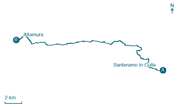
Santeramo in Colle → Altamura
Walking distance 22.8 km
Download Appy for the stage map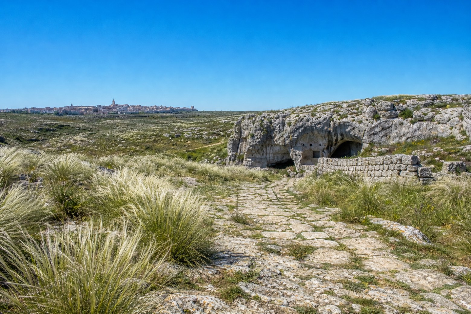
Stage information
- Ascent
- 146 m
- Descent
- 155 m
Difficulty: moderate
Walking the stage
From Santeramo in Colle the route crosses the open steppe grassland of the Alta Murgia plateau, where silvery tufts of Stipa austroitalica flower between April and June. Near the seventh kilometre it passes the Grotta di Sant'Angelo, a cave sanctuary cut into the rock, and the Masseria Scalera farmstead further on. An old stone-paved carraia track leads the final approach into Altamura.
On arrival in Altamura, consider a stop at Altamura Cathedral, close to the finish.
What to see on this stage
History and landmarks
Porta Foggiali
< 100 m from the trail as the crow flies
Altamura Cathedral
Cathedral · < 100 m from the trail as the crow flies
Nature and landscape
Gelso bianco di Via Madonna della Croce 117, Altamura
Monumental tree · 700 m from the trail as the crow flies
Italy’s monumental tree register identifies this specimen as Morus alba L. It records a height of 7 m and a trunk circumference of 290 cm.
Cerro di Masseria Malerba - Strada Provinciale N. 157, Altamura
Monumental tree · 1.7 km from the trail as the crow flies
Italy’s monumental tree register identifies this specimen as Quercus cerris L. It records a height of 22 m and a trunk circumference of 405 cm.
Map · Santeramo in Colle → Altamura
Take your walk with you: download Appy
Via Materana Peuceta: Santeramo in Colle → Altamura. Explore maps, stages and elevation in the app, and plan your train or bus journey.

