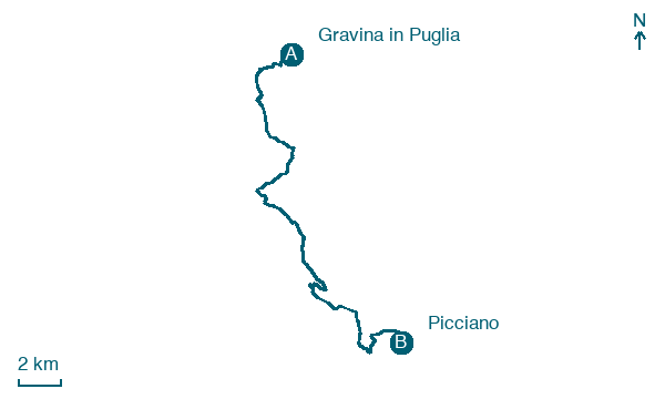
Gravina in Puglia → Picciano
Walking distance 26.8 km
Download Appy for the stage map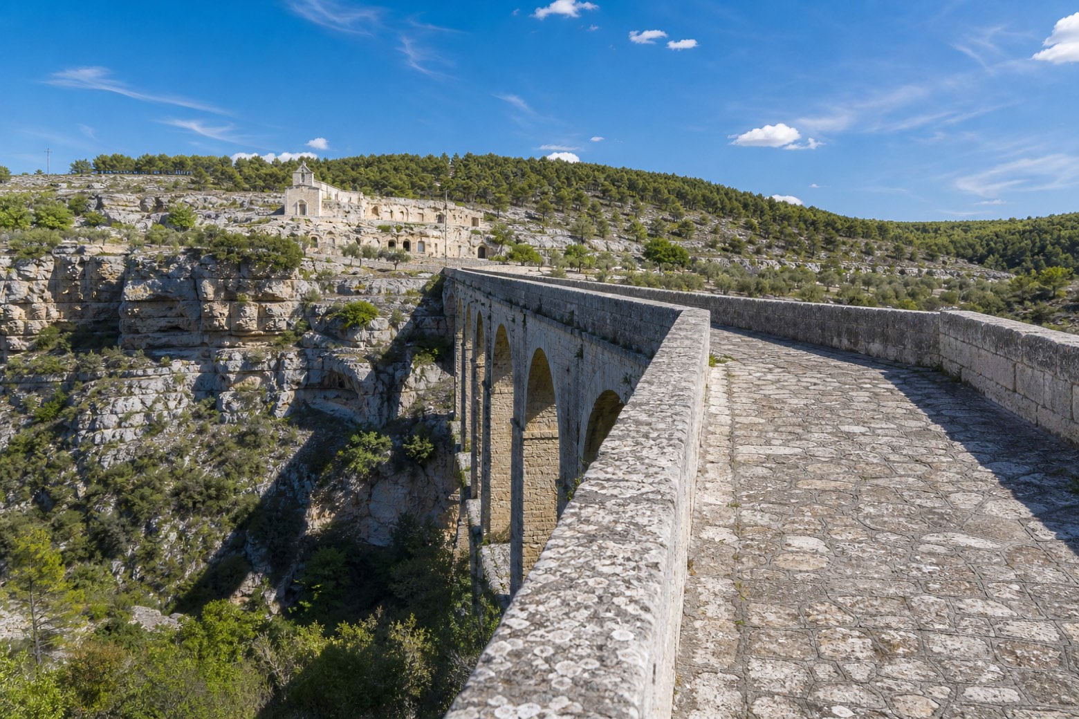
Stage information
- Ascent
- 394 m
- Descent
- 305 m
Difficulty: challenging
Walking the stage
Leaving Gravina in Puglia's cathedral, the route crosses the 18th-century stone aqueduct bridge over the ravine to the Madonna della Stella viewpoint, then climbs Botromagno hill, site of the ancient city of Sidion. The path crosses the Bosco Difesa Grande, one of the largest wooded areas in Puglia, for about 10 km before the open farmland of the Fossa Bradanica. It climbs a final rise to the Benedictine Santuario di Santa Maria di Picciano.
Before leaving Gravina in Puglia, locate Archeological Museum of Gravina in Puglia on the map. It is close to the starting point.
What to see on this stage
History and landmarks
Archeological Museum of Gravina in Puglia
Museum · < 100 m from the trail as the crow flies
Ponte Acquedotto
Bridge · < 100 m from the trail as the crow flies
Map · Gravina in Puglia → Picciano
Take your walk with you: download Appy
Via Materana Peuceta: Gravina in Puglia → Picciano. Explore maps, stages and elevation in the app, and plan your train or bus journey.

