Torregrande → S'Ena Arrubia
Walking distance 17 km
Download Appy for the stage map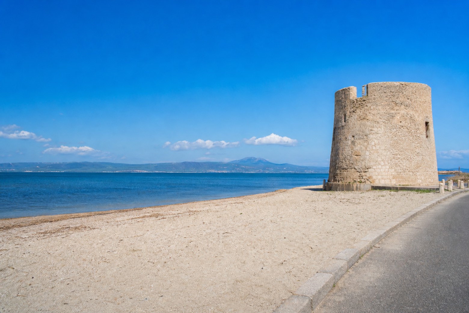
Stage information
- Ascent
- 0 m
- Descent
- 4 m
Difficulty: easy
Walking the stage
Beach sand and paved road follow the wide Golfo di Oristano past Torregrande's own coastal tower, then inland toward the reclaimed farmland of Arborea. The stage ends at the Stagno di S'Ena Arrubia, a lagoon rather than a village, so lodging here is not confirmed.
Look for these places on the stage map: Crabas/Cabras.
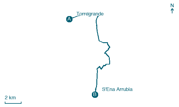
Map · Torregrande → S'Ena Arrubia
Take your walk with you: download Appy
Cammino 100 Torri: Via dei Giganti: Torregrande → S'Ena Arrubia. Explore maps, stages and elevation in the app, and plan your train or bus journey.

