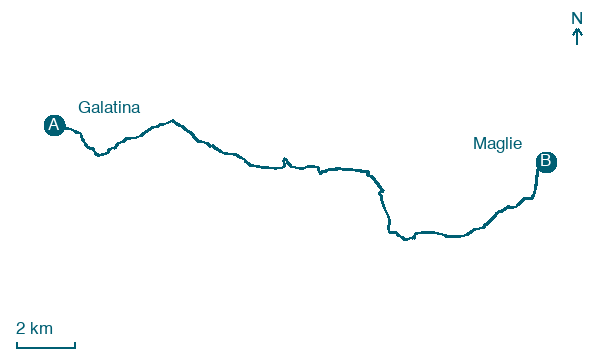
Galatina → Maglie
Walking distance 22.5 km
Download Appy for the stage map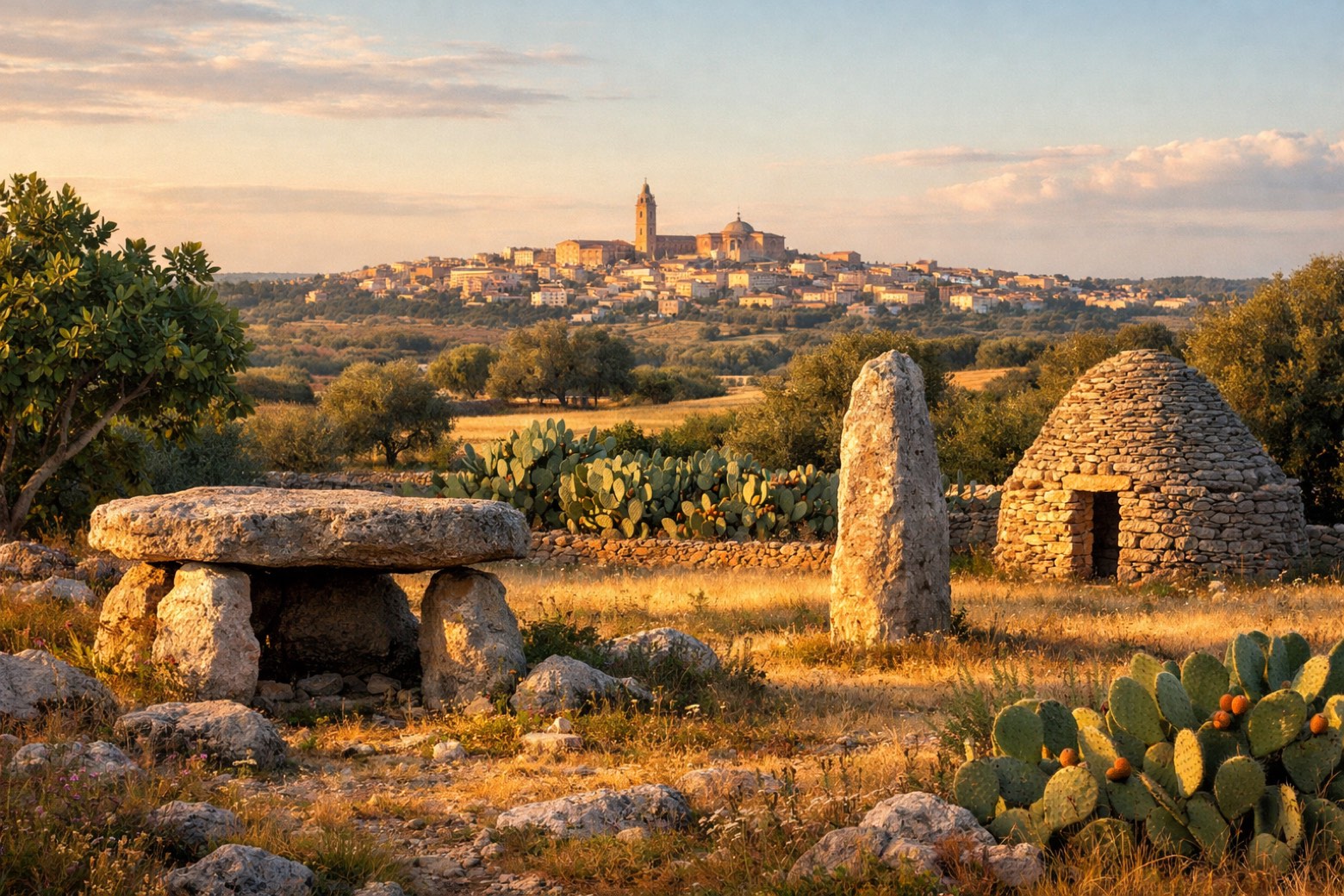
Stage information
- Ascent
- 36 m
- Descent
- 110 m
Difficulty: easy
Walking the stage
Winding through the Grecia Salentina, an ancient Greek-speaking enclave, to the lively market town of Maglie.
On arrival in Maglie, consider a stop at Castello di Otranto, close to the finish.
Look for these places on the stage map: Morigino, Bagnolo del Salento, Giurdignano, and Casamassella.
What to see on this stage
History and landmarks
Castello di Otranto
Castle · 800 m from the trail as the crow flies
Castle, in Otranto, Italy, designated as Italian national heritage.
Torre del Serpe
Tower · 1.9 km from the trail as the crow flies
Tower in Renaissance style, in Otranto, Italy, designated as Italian national heritage.
Map · Galatina → Maglie
Take your walk with you: download Appy
Cammino del Salento Via dei Borghi: Galatina → Maglie. Explore maps, stages and elevation in the app, and plan your train or bus journey.

