Picciano → Matera
Walking distance 29.7 km
Download Appy for the stage map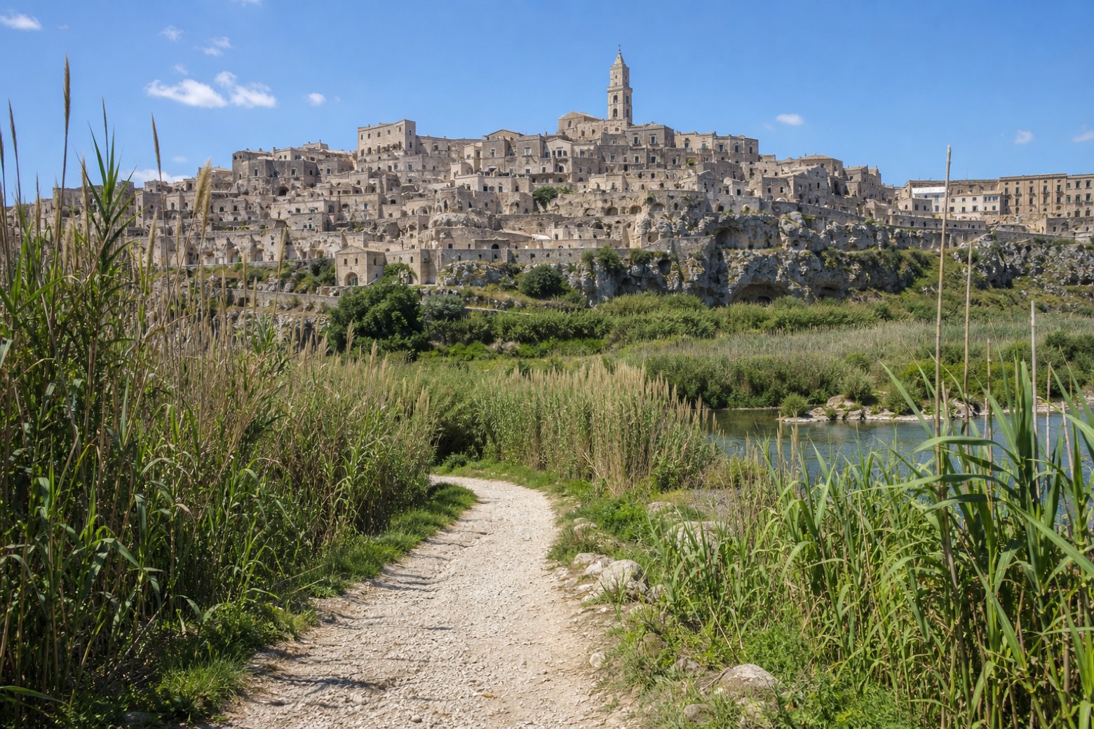
Stage information
- Ascent
- 424 m
- Descent
- 456 m
Difficulty: challenging
Walking the stage
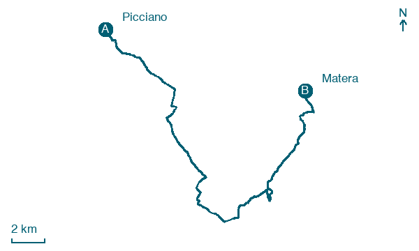
From the hilltop sanctuary at Picciano, the route descends towards the Riserva Naturale di San Giuliano, one of the most important wetlands in Basilicata. A short detour off the main path reaches the rock-cut Cripta del Peccato Originale. The walk enters Matera through the Rione Casalnuovo and the Sassi, ending at the Cattedrale della Madonna della Bruna.
On arrival in Matera, consider a stop at The Sassi and the Park of the Rupestrian Churches of Matera, close to the finish.
Look for these places on the stage map: Sant'Agostino, Piano di Chiattamura, Tempa Maledetta, and Trione della Chiesa.
What to see on this stage
History and landmarks
Palazzo Bernardini (Matera)
Palace · < 100 m from the trail as the crow flies
15th-century palace, in Matera, Italy.
The Sassi and the Park of the Rupestrian Churches of Matera
Archaeological site · < 100 m from the trail as the crow flies
A town of houses dug into soft rock, in two districts, Sasso Barisano and Sasso Caveoso, joined by stairs and narrow lanes. Across the ravine are about 150 rock-cut churches, mostly from the 8th to the 14th century, some with frescoes.
Nature and landscape
Casa Grotta
< 100 m from the trail as the crow flies
Pino domestico di Viale Aldo Moro, Matera
Monumental tree · 1.1 km from the trail as the crow flies
Map · Picciano → Matera
Take your walk with you: download Appy
Via Materana Peuceta: Picciano → Matera. Explore maps, stages and elevation in the app, and plan your train or bus journey.

