Gaeta → Minturno
Walking distance 28.1 km
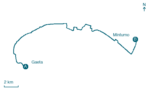
Download Appy for the stage map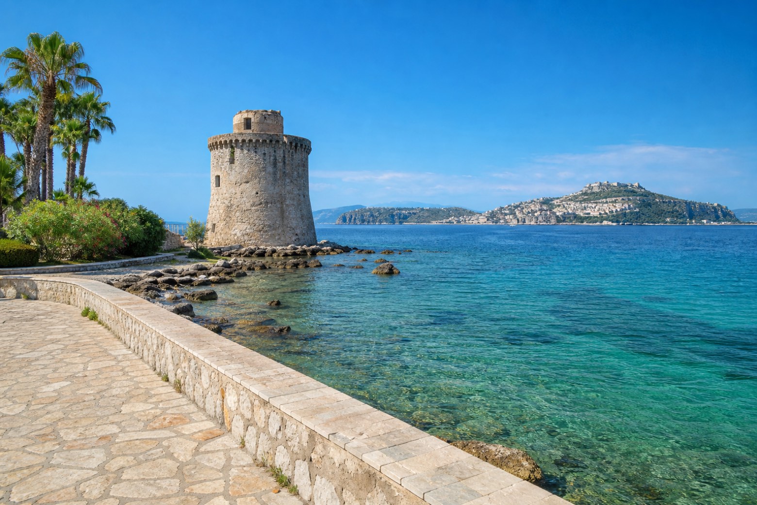
Stage information
- Ascent
- 89 m
- Descent
- 94 m
Difficulty: moderate
Walking the stage
From the cathedral of Gaeta along the seafront promenade past the beach of Vindicio to Formia, then on along the Tyrrhenian coast to Gianola and Scauri. Past Marina di Minturno toward the mouth of the Garigliano to the archaeological site of Minturnae, the Roman colony on the Via Appia. About 28 km.
Look for these places on the stage map: Vindicio, Mola, Marina Di Minturno, and Pantano.
What to see on this stage
History and landmarks
Torre di Mola
Tower · < 100 m from the trail as the crow flies
13th-century tower, in Formia, Italy, designated as Italian national heritage.
Torre del Mago
Tower · < 100 m from the trail as the crow flies
Tower, in Minturno, Italy, designated as Italian national heritage.
Nature and landscape
Platano orientale di Via Caposele Villa Rubino - Porticciolo Caposele, Formia
Monumental tree · 200 m from the trail as the crow flies
Italy’s monumental tree register identifies this specimen as Platanus orientalis L. It records a height of 25 m and a trunk circumference of 360 cm.
Map · Gaeta → Minturno
Take your walk with you: download Appy
Via Francigena del Sud (tratta Laziale): Gaeta → Minturno. Explore maps, stages and elevation in the app, and plan your train or bus journey.

