Minturno → Sessa Aurunca
Walking distance 24.4 km
Download Appy for the stage map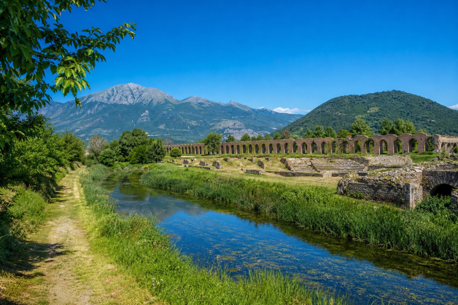
Stage information
- Ascent
- 269 m
- Descent
- 88 m
Difficulty: moderate
Walking the stage
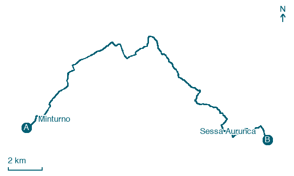
Away from the ruins of Minturnae and across the Via Appia to Santi Cosma e Damiano, then over the bridge on the Garigliano, the border between Lazio and Campania. Through the hamlets of Maiano and Lauro di Sessa, past the sanctuary of the Madonna dei Pozzi and Cupa di Sessa, up to the Duomo of Sessa Aurunca. About 24 km.
On arrival in Sessa Aurunca, consider a stop at Castle of Sessa Aurunca, close to the finish.
Look for these places on the stage map: Grunuovo, Maiano, Lauro di Sessa, and Cupa.
What to see on this stage
History and landmarks
Museo archeologico nazionale di Sessa Aurunca
Museum · < 100 m from the trail as the crow flies
Museum, in Sessa Aurunca, Italy.
Castle of Sessa Aurunca
Castle · < 100 m from the trail as the crow flies
Castle in Romanesque art style, in Sessa Aurunca, Italy, designated as Italian national heritage.
Map · Minturno → Sessa Aurunca
Take your walk with you: download Appy
Via Francigena del Sud (tratta Laziale): Minturno → Sessa Aurunca. Explore maps, stages and elevation in the app, and plan your train or bus journey.

